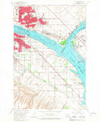
1964 Map of Pasco
USGS Topo · Published 1967About this map
The Columbia River and Snake River converge at the heart of this mid-1960s survey, where the rising waters of Lake Wallula dominate the landscape. The urban centers of Pasco and Kennewick are shown in detail, connected by the Northern Pacific and Union Pacific railroads. This era reflects a post-war industrial expansion, evidenced by the Port of Pasco Industrial Park and the sprawling Kennewick Game Farm to the southeast.
Find a feature on this map
55 named features on this map. Tap any name to fly to it.
Don’t see what you’re looking for? This feature index may not catch every label — zoom into the map to look around manually.
Map Details
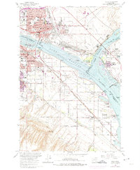
Editions of this 1964 Pasco Map
2 editions found
Other maps of this area

1915 · Wallulah
USGS Topo · 1:96,000

1917 · Pasco
USGS Topo · 1:125,000

1918 · Wallula
USGS Topo · 1:125,000

1953 · Walla Walla
USGS Topo · 1:250,000

1958 · Walla Walla
USGS Topo · 1:250,000

1964 · Wallula
USGS Topo · 1:24,000

1964 · Levey SW
USGS Topo · 1:24,000

1964 · Humorist
USGS Topo · 1:24,000
1964 · Johnson Butte
USGS Topo · 1:24,000
1964 · Nine Canyon
USGS Topo · 1:24,000