
1919 Map of Paso Robles
USGS Topo · Published 1919About this map
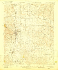
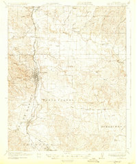
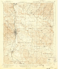
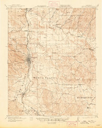
The Salinas River valley in the late 1910s reveals a landscape of established ranching and nascent orchards centered on Paso Robles. The Southern Pacific (Coast Division) railroad corridor dictates the region's growth, connecting the historic San Miguel Mission in the north to the burgeoning community of Atascadero in the south. Between these hubs, rural life is anchored by a dense network of country schoolhouses, such as Dry Creek School and Bethel School, which served the scattered families of the Huerhuero and Asuncion land grants. Beyond the valley floor, the terrain transitions into the canyons and ridges of the Coast Range, where routes like Adelaida Road and Cayucos Road provided essential links to the coast. The presence of Lake Ysabel and the numerous named canyons like Peachy Canyon illustrate the complex hydrology and topography that shaped the early 20th-century development of San Luis Obispo County.
Find a feature on this map
53 named features on this map. Tap any name to fly to it.
Don’t see what you’re looking for? This feature index may not catch every label — zoom into the map to look around manually.
Map Details
Editions of this 1919 Paso Robles Map
5 editions found
Other maps of this area

1897 · San Luis Obispo
USGS Topo · 1:62,500

1897 · Cayucos
USGS Topo · 1:62,500

1900 · San Luis
USGS Topo · 1:125,000

1914 · Cholame
USGS Topo · 1:125,000

1915 · Cholame
USGS Topo · 1:125,000

1917 · Cholame
USGS Topo · 1:125,000

1919 · San Miguel
USGS Topo · 1:62,500

1919 · Bradley
USGS Topo · 1:62,500

1919 · Adelaida
USGS Topo · 1:62,500

1922 · Pozo
USGS Topo · 1:62,500