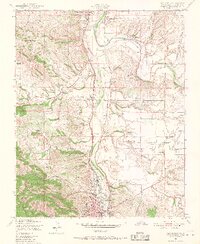
1948 Map of Paso Robles
USGS Topo · Published 1967About this map
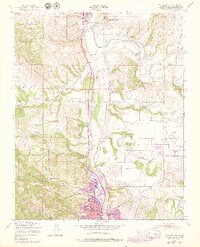
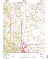
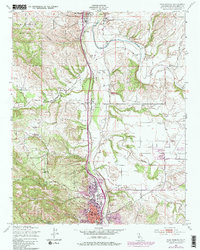
The Salinas River corridor north of Paso Robles serves as the spine of this 1940s landscape, where agricultural development and military presence converge along the Southern Pacific tracks. The northern portion of the map is dominated by the historic San Miguel Mission and the sprawling Camp Roberts Military Reservation, reflecting the region's dual identity as both a Spanish colonial anchor and a mid-century strategic hub. Small settlements like San Miguel and Wellsona appear as vital stops along the transit corridor, while the eastern bluffs are defined by the winding course of the Estrella River and various canyons.
Find a feature on this map
38 named features on this map. Tap any name to fly to it.
Don’t see what you’re looking for? This feature index may not catch every label — zoom into the map to look around manually.
Map Details
Editions of this 1948 Paso Robles Map
7 editions found
Other maps of this area

1919 · San Miguel
USGS Topo · 1:62,500

1919 · Paso Robles
USGS Topo · 1:62,500

1919 · Bradley
USGS Topo · 1:62,500

1919 · Adelaida
USGS Topo · 1:62,500

1932 · Adelaida
USGS Topo · 1:62,500

1941 · Bradley
USGS Topo · 1:62,500

1942 · Adelaida
USGS Topo · 1:62,500

1943 · Paso Robles
USGS Topo · 1:62,500

1947 · San Luis Obispo
USGS Topo · 1:250,000

1947 · San Miguel
USGS Topo · 1:62,500