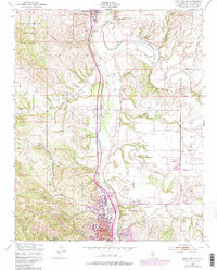
1948 Map of Paso Robles
USGS Topo · Published 1984About this map
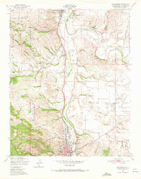
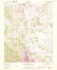
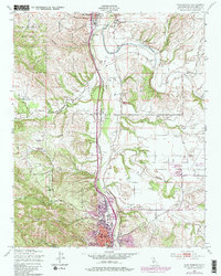
The Salinas River corridor defines this Central Coast landscape, anchoring a series of historic settlements from the San Miguel Mission in the north to the expanding grid of Paso Robles in the south. The 1948 survey, updated with 1970s revisions, highlights a period of significant regional growth marked by the presence of the Camp Roberts Military Reservation and the development of the Paso Robles Municipal Airport. Transport and infrastructure are central to the map's story, with the Southern Pacific railroad and U.S. Route 101 tracing the river valley past smaller points like Wellsona and the Old Adobe. Local institutions such as the El Paso De Robles Sch (Reformatory) and the Fair Grounds appear alongside family-named terrain like Norn Hill and Ranchito Canyon, offering a detailed view of the area's agricultural and institutional evolution.
Find a feature on this map
34 named features on this map. Tap any name to fly to it.
Don’t see what you’re looking for? This feature index may not catch every label — zoom into the map to look around manually.
Map Details
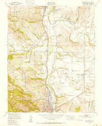
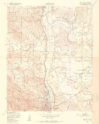
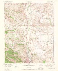
Editions of this 1948 Paso Robles Map
7 editions found
Other maps of this area

1919 · San Miguel
USGS Topo · 1:62,500

1919 · Paso Robles
USGS Topo · 1:62,500

1919 · Bradley
USGS Topo · 1:62,500

1919 · Adelaida
USGS Topo · 1:62,500

1932 · Adelaida
USGS Topo · 1:62,500

1941 · Bradley
USGS Topo · 1:62,500

1942 · Adelaida
USGS Topo · 1:62,500

1943 · Paso Robles
USGS Topo · 1:62,500

1947 · San Luis Obispo
USGS Topo · 1:250,000

1947 · San Miguel
USGS Topo · 1:62,500