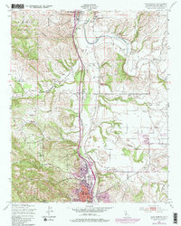
1948 Map of Paso Robles
USGS Topo · Published 1984About this map
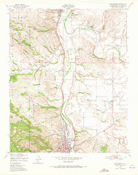
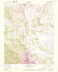
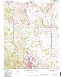
The Salinas River valley corridor serves as the primary artery for settlement and transport in this 1948 survey, anchored by the town of Paso Robles and the historic San Miguel Mission. The Southern Pacific railroad parallels the river, connecting established communities like San Miguel and Wellsona with industrial and institutional landmarks. Notable features include the El Paso De Robles Sch (Reformatory) and the Fair Grounds, while the northwest corner is dominated by the Camp Roberts Military Reservation. The landscape is defined by the confluence of the Estrella River and various canyons such as Bridge Canyon and Peachy Canyon. Purple overprint revisions from 1979 illustrate the late 20th-century expansion of the urban area around Paso Robles and the development of the Paso Robles Municipal Airport, showing the transition from a traditional agricultural and rail-oriented valley to a modern regional center.
Find a feature on this map
43 named features on this map. Tap any name to fly to it.
Don’t see what you’re looking for? This feature index may not catch every label — zoom into the map to look around manually.
Map Details
Editions of this 1948 Paso Robles Map
7 editions found
Other maps of this area

1919 · San Miguel
USGS Topo · 1:62,500

1919 · Paso Robles
USGS Topo · 1:62,500

1919 · Bradley
USGS Topo · 1:62,500

1919 · Adelaida
USGS Topo · 1:62,500

1932 · Adelaida
USGS Topo · 1:62,500

1941 · Bradley
USGS Topo · 1:62,500

1942 · Adelaida
USGS Topo · 1:62,500

1943 · Paso Robles
USGS Topo · 1:62,500

1947 · San Luis Obispo
USGS Topo · 1:250,000

1947 · San Miguel
USGS Topo · 1:62,500