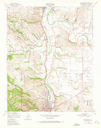
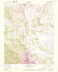
1948 Map of Paso Robles
USGS Topo · Published 1971About this map
San Miguel Mission stands as a historic anchor in the north, surrounded by the early settlement of San Miguel. The landscape follows the broad valley of the Salinas River, where the Southern Pacific railroad tracks parallel the water, connecting small sidings like Wellsona to the larger hub of Paso Robles. The presence of the Camp Roberts Military Reservation in the northwest and the State School For Boys to the east reflects the institutional and military footprints of the mid-20th century.
Find a feature on this map
42 named features on this map. Tap any name to fly to it.
Don’t see what you’re looking for? This feature index may not catch every label — zoom into the map to look around manually.
Map Details
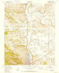
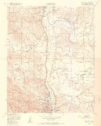
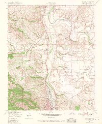
Editions of this 1948 Paso Robles Map
7 editions found
Other maps of this area

1919 · San Miguel
USGS Topo · 1:62,500

1919 · Paso Robles
USGS Topo · 1:62,500

1919 · Bradley
USGS Topo · 1:62,500

1919 · Adelaida
USGS Topo · 1:62,500

1932 · Adelaida
USGS Topo · 1:62,500

1941 · Bradley
USGS Topo · 1:62,500

1942 · Adelaida
USGS Topo · 1:62,500

1943 · Paso Robles
USGS Topo · 1:62,500

1947 · San Luis Obispo
USGS Topo · 1:250,000

1947 · San Miguel
USGS Topo · 1:62,500