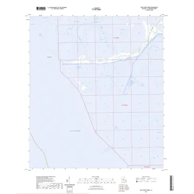
2024 Map of Pass Tante Phine
USGS Topo · Published 2024About this map
Pass Tante Phine cuts through the shifting marshlands of the Mississippi River delta, marking a landscape defined by intricate waterways and coastal sedimentation. The region is a complex network of bayous and passes, including Spanish Pass and its historical predecessor, Old Spanish Pass, which illustrate the natural migration of water through the wetlands. Red Pass serves as a major horizontal channel, segmenting the marsh between the northern bayous and the open expanse of the Gulf of Mexico to the south.
Find a feature on this map
22 named features on this map. Tap any name to fly to it.
Don’t see what you’re looking for? This feature index may not catch every label — zoom into the map to look around manually.
Map Details
Editions of this 2024 Pass Tante Phine Map
This is the sole edition of this map. No revisions or reprints were ever made.
Other maps of this area

1892 · Quarantine
USGS Topo · 1:62,500

1893 · Forts
USGS Topo · 1:62,500

1893 · West Delta
USGS Topo · 1:62,500

1941 · Empire
USGS Topo · 1:62,500

1944 · Empire
USGS Topo · 1:62,500

1946 · Pass Du Bois
USGS Topo · 1:31,680

1946 · Pass Tante Phine
USGS Topo · 1:31,680

1947 · Buras
USGS Topo · 1:31,680

1947 · Venice
USGS Topo · 1:31,680

1947 · Fort St. Philip
USGS Topo · 1:31,680