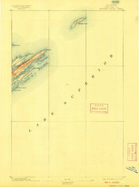
1895 Map of Passage Island
USGS Topo · Published 1909About this map
Passage Island and the northeast tip of Isle Royale emerge from the depths of Lake Superior in this late nineteenth-century maritime topography. Compiled from U.S. Lake Survey data by L.C. Fletcher, the map illustrates the intricate coastal geometry of long, finger-like peninsulas and sheltered waterways that define this archipelago. The navigation hazards of the region are clearly marked, from the isolated Canoe Rocks to the sharp protrusions of Blake Pt. and Lock Pt..
Find a feature on this map
14 named features on this map. Tap any name to fly to it.
Don’t see what you’re looking for? This feature index may not catch every label — zoom into the map to look around manually.
Map Details
Editions of this 1895 Passage Island Map
3 editions found
Other maps of this area

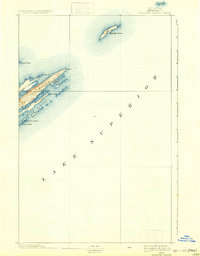
1895 · Passage Island
USGS Topo · 1:62,500

1958 · Hancock
USGS Topo · 1:250,000

1959 · Fort William
USGS Topo · 1:250,000

1960 · Hancock
USGS Topo · 1:250,000

1961 · Hancock
USGS Topo · 1:250,000

1966 · Hancock
USGS Topo · 1:250,000

1968 · Fort William
USGS Topo · 1:250,000

1985 · Todd Harbor
USGS Topo · 1:100,000

1985 · Siskiwit Bay
USGS Topo · 1:100,000
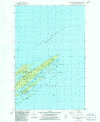
1985 · Rock Harbor Lodge
USGS Topo · 1:24,000