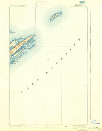
1895 Map of Passage Island
USGS Topo · Published 1933About this map
Passage Island and the northeastern tip of Isle Royale anchor this 1895 nautical and topographic study of the Keweenaw waters. The map focuses on the complex archipelago and sheltered inlets of eastern Lake Superior, specifically tracing the long, narrow basins of Rock Harbor, Tobin Harbor, and Duncan Bay. Topography compiled by L.C. Fletcher and the U.S. Lake Survey details the series of parallel ridges and rocky headlands, such as Blake Pt. and Scoville Pt., that characterize this volcanic landscape. While largely maritime in nature, the map identifies specific hazards and navigational landmarks including Canoe Rocks and the outlying Gull Islands, reflecting the era's reliance on precise coastal charts for safe passage through these northern waters.
Find a feature on this map
13 named features on this map. Tap any name to fly to it.
Don’t see what you’re looking for? This feature index may not catch every label — zoom into the map to look around manually.
Map Details
Editions of this 1895 Passage Island Map
3 editions found
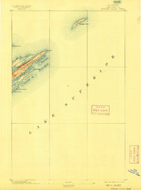
Other maps of this area

1895 · Passage Island
USGS Topo · 1:62,500

1958 · Hancock
USGS Topo · 1:250,000

1959 · Fort William
USGS Topo · 1:250,000

1960 · Hancock
USGS Topo · 1:250,000

1961 · Hancock
USGS Topo · 1:250,000

1966 · Hancock
USGS Topo · 1:250,000

1968 · Fort William
USGS Topo · 1:250,000

1985 · Todd Harbor
USGS Topo · 1:100,000

1985 · Siskiwit Bay
USGS Topo · 1:100,000
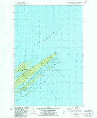
1985 · Rock Harbor Lodge
USGS Topo · 1:24,000