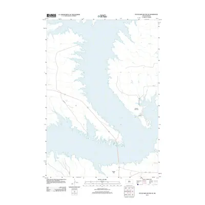
2012 Map of Patch Skin Buttes SE
USGS Topo · Published 2012About this map
Lake Oahe dominates this 2012 topographic record, its expansive waters filling the Missouri River valley and creating a complex shoreline of inlets and peninsulas. Along the eastern banks, the Dolphus Peninsula extends into the reservoir, served by local routes like Salmon St and providing access to the W Whitlock Rec Area. This landscape is defined by the managed water levels of the dammed river, which reshaped the geography of Potter County in the mid-20th century.
Find a feature on this map
9 named features on this map. Tap any name to fly to it.
Don’t see what you’re looking for? This feature index may not catch every label — zoom into the map to look around manually.
Map Details
Editions of this 2012 Patch Skin Buttes SE Map
This is the sole edition of this map. No revisions or reprints were ever made.
Other maps of this area

1953 · McIntosh
USGS Topo · 1:250,000

1954 · Pierre
USGS Topo · 1:250,000

1958 · Pierre
USGS Topo · 1:250,000

1958 · McIntosh
USGS Topo · 1:250,000

1969 · Artichoke Butte NW
USGS Topo · 1:24,000

1969 · Patch Skin Buttes SW
USGS Topo · 1:24,000

1969 · Four Bear Creek
USGS Topo · 1:24,000

1969 · Patch Skin Buttes SE
USGS Topo · 1:24,000

1970 · Steamboat Creek
USGS Topo · 1:24,000

1970 · Patch Skin Buttes
USGS Topo · 1:24,000