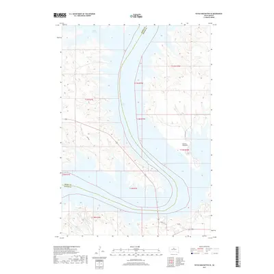
2017 Map of Patch Skin Buttes SE
USGS Topo · Published 2017About this map
Lake Oahe dominates this Missouri River landscape, following its transition into a massive reservoir system that reshaped the geography of central South Dakota. The sprawling waters of the lake fill the deep river valley, creating complex shorelines such as the protected Swift Bird Bay and the prominent Dolphus Peninsula. This 2017 survey reflects the modern hydrologic state of the region along the boundary of Dewey and Potter counties. Historically significant transit routes remain visible in the road network, including the path of Old US Hwy 212, which traces a path toward the water's edge. The surrounding terrain is defined by the high tablelands and the intricate drainage patterns of the Missouri breaks, largely managed today as part of the public land system.
Find a feature on this map
12 named features on this map. Tap any name to fly to it.
Don’t see what you’re looking for? This feature index may not catch every label — zoom into the map to look around manually.
Map Details
Editions of this 2017 Patch Skin Buttes SE Map
This is the sole edition of this map. No revisions or reprints were ever made.
Other maps of this area

1953 · McIntosh
USGS Topo · 1:250,000

1954 · Pierre
USGS Topo · 1:250,000

1958 · Pierre
USGS Topo · 1:250,000

1958 · McIntosh
USGS Topo · 1:250,000

1969 · Artichoke Butte NW
USGS Topo · 1:24,000

1969 · Patch Skin Buttes SW
USGS Topo · 1:24,000

1969 · Four Bear Creek
USGS Topo · 1:24,000

1969 · Patch Skin Buttes SE
USGS Topo · 1:24,000

1970 · Steamboat Creek
USGS Topo · 1:24,000

1970 · Patch Skin Buttes
USGS Topo · 1:24,000