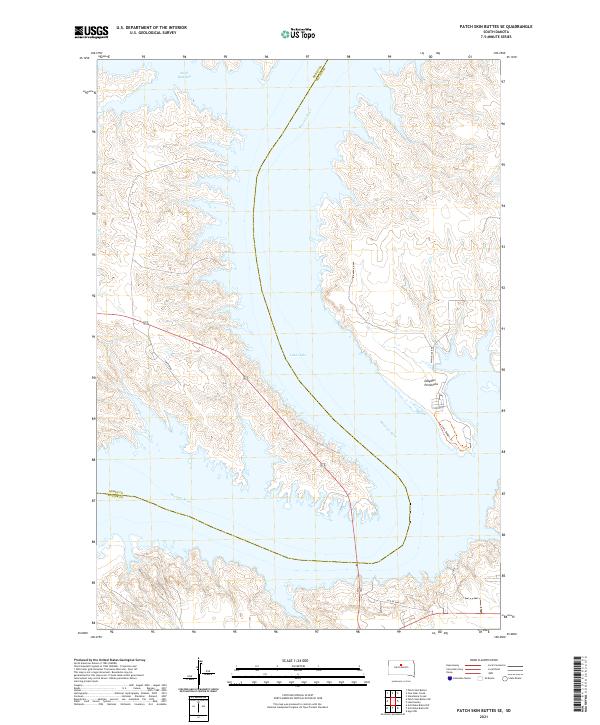
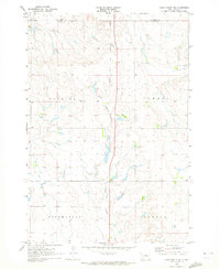
2021 Map of Patch Skin Buttes SE
USGS Topo · Published 2021About this map
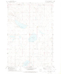
Missouri River waters dominate this landscape, where the wide expanse of Lake Oahe defines the contemporary geography of the border between Dewey and Potter counties. The map illustrates a complex shoreline of inlets and points, most notably the prominent Dolphus Peninsula which extends into the reservoir from the east. This modern survey reflects the significant transformation of the Missouri valley since the mid-20th century dam projects, showing how the rising waters created features like Swift Bird Bay while submerging the original river banks. Land navigation is traced through local routes like Swift Bird and W Whitlock Rd, alongside the historical alignment of Old US Hwy-212. The presence of the Louis Badger Trl suggests the area's continued importance for local transit and shoreline access within this rural South Dakota corridor.
Find a feature on this map
15 named features on this map. Tap any name to fly to it.
Don’t see what you’re looking for? This feature index may not catch every label — zoom into the map to look around manually.
Map Details
Editions of this 2021 Patch Skin Buttes SE Map
This is the sole edition of this map. No revisions or reprints were ever made.
Historical Maps of Forest City Through Time
28 maps found

1969 Patch Skin Buttes SE
Potter County, SD
1970 Agar NE
Potter County, SD
1970 Agar NW
Potter County, SD
1970 Artichoke Butte NE
Potter County, SD
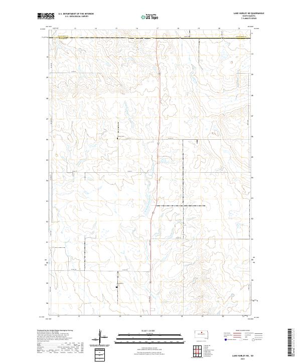
1970 Lake Hurley NE
Potter County, SD
1970 Lake Hurley
Potter County, SD
1970 Lake Hurley SE
Potter County, SD
1970 Steamboat Creek
Potter County, SD
1974 Flight Lake
Potter County, SD
1974 Gettysburg Muni. Airport NE
Potter County, SD
1978 Gettysburg Muni. Airport
Potter County, SD
1978 Seneca NW
Potter County, SD
1978 Seneca SW
Potter County, SD
1978 Thomas Lake NW
Potter County, SD
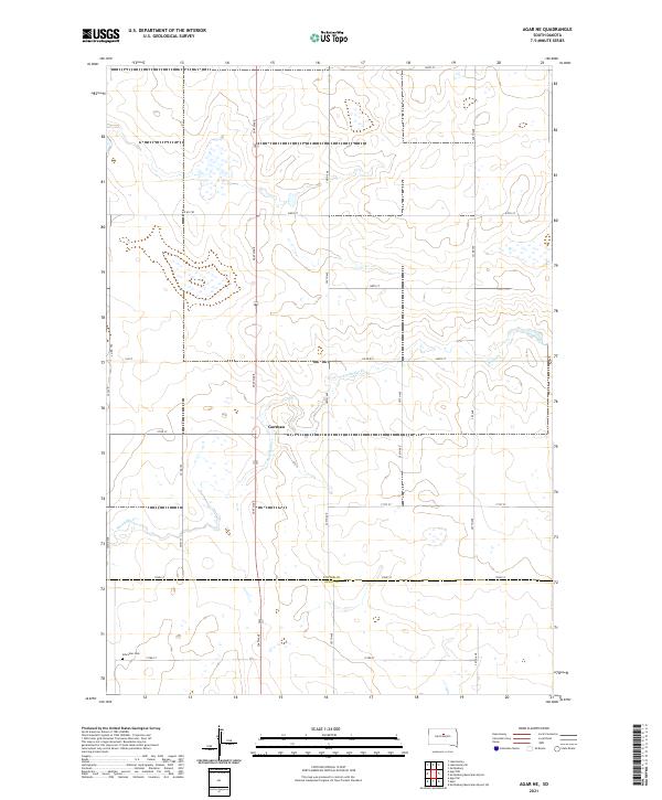
2021 Agar NE
Potter County, SD
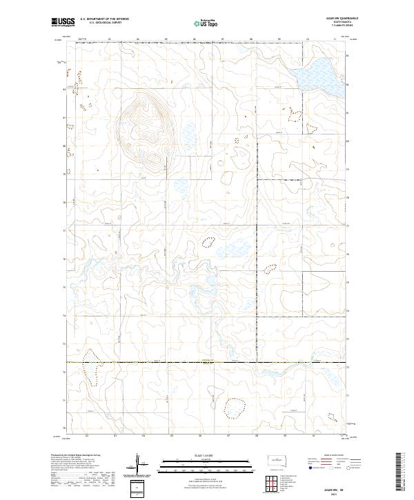
2021 Agar NW
Potter County, SD
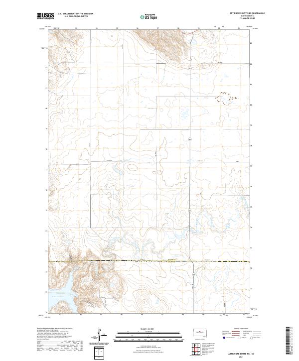
2021 Artichoke Butte NE
Potter County, SD
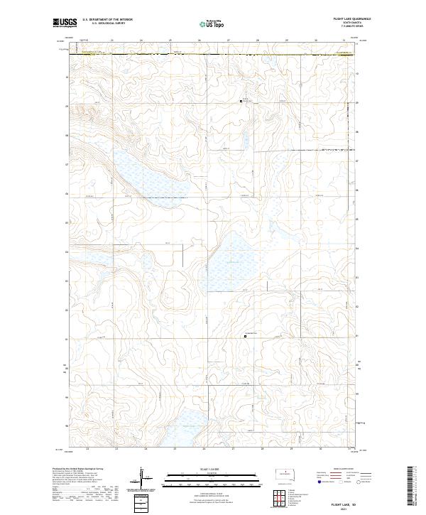
2021 Flight Lake
Potter County, SD
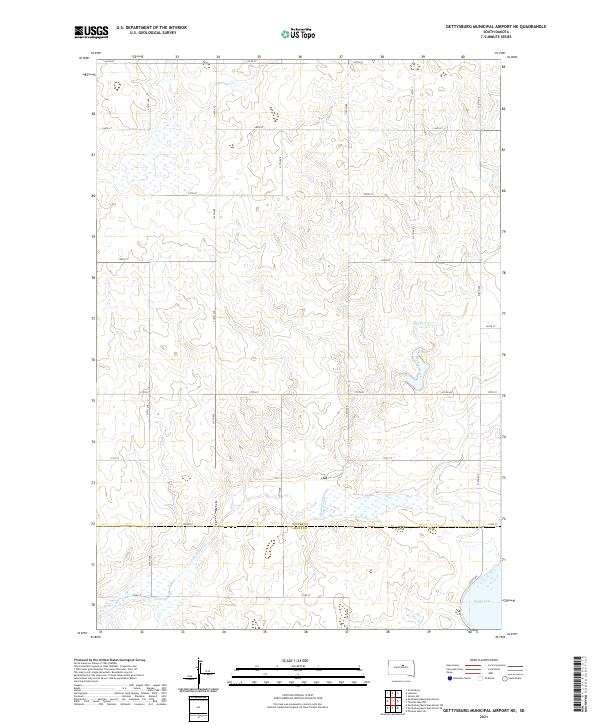
2021 Gettysburg Municipal Airport NE
Potter County, SD
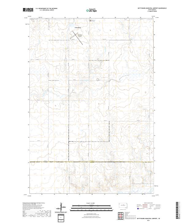
2021 Gettysburg Municipal Airport
Potter County, SD
2021 Lake Hurley NE
Potter County, SD
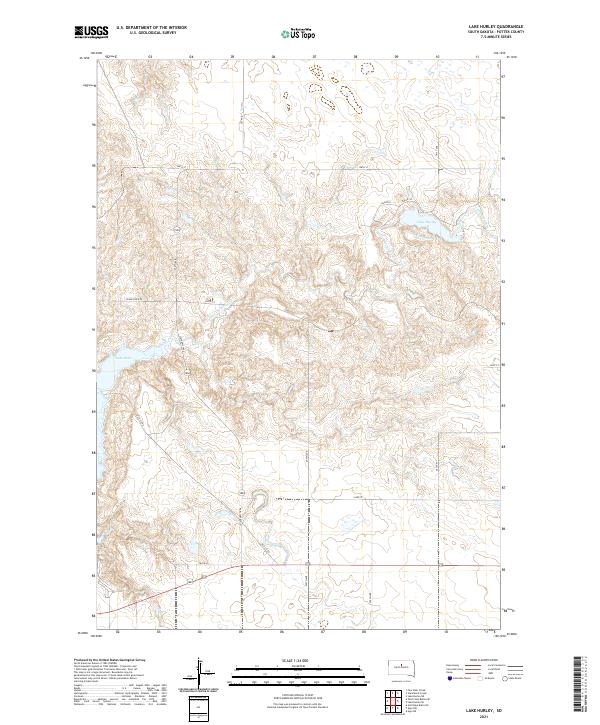
2021 Lake Hurley
Potter County, SD
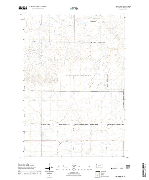
2021 Lake Hurley SE
Potter County, SD
2021 Patch Skin Buttes SE
Potter County, SD
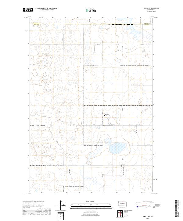
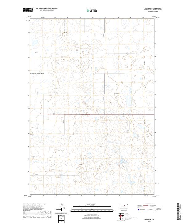
2021 Seneca NW
Potter County, SD
2021 Seneca SW
Potter County, SD
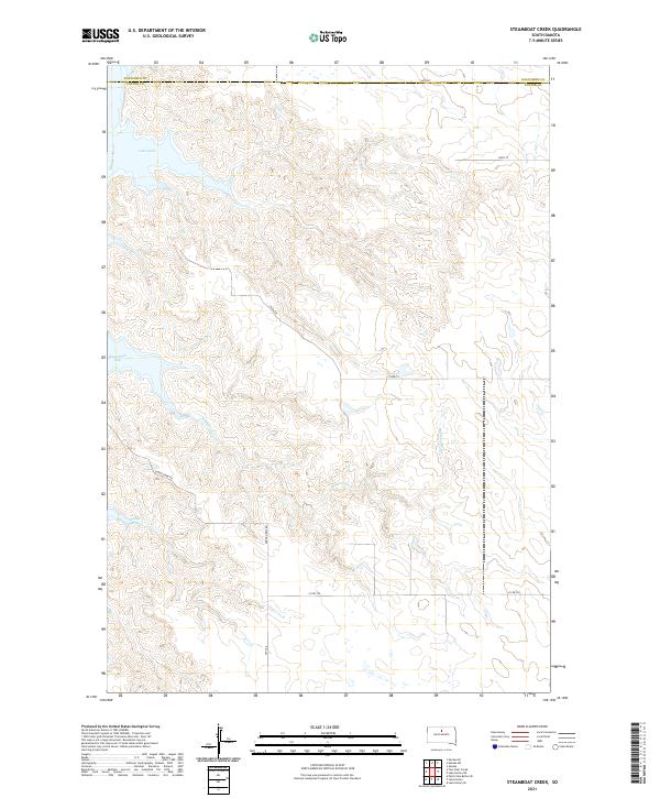
2021 Steamboat Creek
Potter County, SD
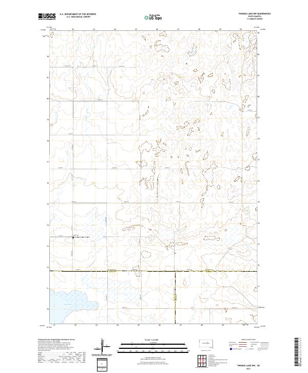
2021 Thomas Lake NW
Potter County, SD