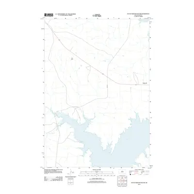
2012 Map of Patch Skin Buttes SW
USGS Topo · Published 2012About this map
Lake Oahe dominates the southern landscape of this Dewey County region, where the Missouri River's backed-up waters reach into the prairie via Scatter Butte Cr and Stove Cr. The terrain is defined by the high ground of Gray Butte, situated in a relatively open expanse of the Cheyenne River Reservation. Settlement is concentrated at Marksville, positioned near the intersection of several regional routes, including BIA Hwy 8. The map illustrates the contemporary relationship between modern highway infrastructure and the intricate, flooded shoreline created by the Oahe Dam project downstream. This geography reflects a transition from traditional upland grazing and ranching toward the recreation and water management systems that now characterize this part of South Dakota.
Find a feature on this map
6 named features on this map. Tap any name to fly to it.
Don’t see what you’re looking for? This feature index may not catch every label — zoom into the map to look around manually.
Map Details
Editions of this 2012 Patch Skin Buttes SW Map
This is the sole edition of this map. No revisions or reprints were ever made.
Other maps of this area

1951 · Virginia
USGS Topo · 1:24,000

1953 · McIntosh
USGS Topo · 1:250,000

1954 · Pierre
USGS Topo · 1:250,000

1958 · Pierre
USGS Topo · 1:250,000

1958 · McIntosh
USGS Topo · 1:250,000

1969 · Artichoke Butte NW
USGS Topo · 1:24,000

1969 · Patch Skin Buttes SW
USGS Topo · 1:24,000

1969 · Four Bear Creek
USGS Topo · 1:24,000

1969 · Patch Skin Buttes SE
USGS Topo · 1:24,000

1970 · Patch Skin Buttes
USGS Topo · 1:24,000