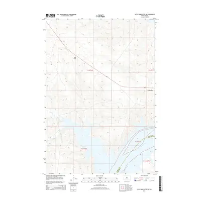
2015 Map of Patch Skin Buttes SW
USGS Topo · Published 2015About this map
Marksville stands as the primary point of settlement in this landscape where the Missouri River forms the jurisdictional boundary between Dewey County and Potter County. The terrain is defined by dramatic elevation changes rising from the river valley toward prominent landmarks like Gray Butte. Significant hydrological features such as Stove Creek and Scatter Butte Creek drain the western portions of the quadrangle, illustrating the complex watershed system feeding the Missouri. The map provides a precise view of the rural road network and section lines that structured land use in this part of South Dakota in the early twenty-first century, showing how the natural topography of the buttes dictated the placement of transit routes and property boundaries.
Find a feature on this map
11 named features on this map. Tap any name to fly to it.
Don’t see what you’re looking for? This feature index may not catch every label — zoom into the map to look around manually.
Map Details
Editions of this 2015 Patch Skin Buttes SW Map
This is the sole edition of this map. No revisions or reprints were ever made.
Other maps of this area

1951 · Virginia
USGS Topo · 1:24,000

1953 · McIntosh
USGS Topo · 1:250,000

1954 · Pierre
USGS Topo · 1:250,000

1958 · Pierre
USGS Topo · 1:250,000

1958 · McIntosh
USGS Topo · 1:250,000

1969 · Artichoke Butte NW
USGS Topo · 1:24,000

1969 · Patch Skin Buttes SW
USGS Topo · 1:24,000

1969 · Four Bear Creek
USGS Topo · 1:24,000

1969 · Patch Skin Buttes SE
USGS Topo · 1:24,000

1970 · Patch Skin Buttes
USGS Topo · 1:24,000