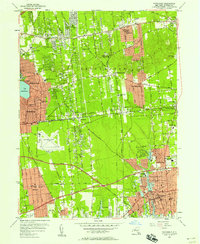
1956 Map of Patchogue
USGS Topo · Published 1958About this map
Patchogue serves as the focal point of this mid-century survey, showing the South Shore community's infrastructure just as suburban expansion began to accelerate in central Suffolk County. The map details the village center's concentration of civic life around City Hall and the Patchogue River, extending north through North Patchogue to the recreational and residential clusters surrounding Lake Ronkonkoma. Significant land use is dedicated to the Mac Arthur Airport and a dense network of educational and religious institutions, including the Cenacle Convent and St Margaret Ch in Selden. Transport patterns are defined by the Long Island Railroad and the burgeoning corridor of the Sunrise Highway, which facilitated growth in settlements like Holbrook and Bohemia. For the family historian, the map meticulously records numerous local burial grounds such as Holy Sepulchre Cem and Cedar Grove Cem.
Find a feature on this map
72 named features on this map. Tap any name to fly to it.
Don’t see what you’re looking for? This feature index may not catch every label — zoom into the map to look around manually.
Map Details
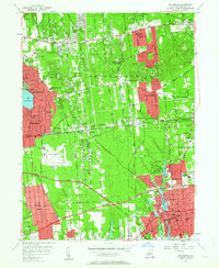
Editions of this 1956 Patchogue Map
2 editions found
Other maps of this area

1902 · Setauket
USGS Topo · 1:62,500

1902 · Fire Island
USGS Topo · 1:62,500

1903 · Fire Island
USGS Topo · 1:62,500

1904 · Setauket
USGS Topo · 1:62,500

1904 · Islip
USGS Topo · 1:125,000

1904 · Moriches
USGS Topo · 1:62,500

1919 · Setauket
USGS Topo · 1:62,500

1942 · Islip
USGS Topo · 1:125,000

1944 · Bay Shore East
USGS Topo · 1:24,000
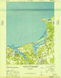
1947 · St James
USGS Topo · 1:24,000