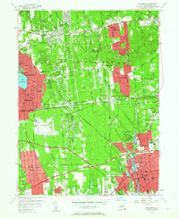
1956 Map of Patchogue
USGS Topo · Published 1964About this map
Patchogue and the surrounding central Long Island communities of Brookhaven and Islip appear in the mid-1950s as suburbanization begins to reshape the landscape. The Long Island Railroad serves as a primary east-west spine, connecting Ronkonkoma and Medford Station to the bustling village centers. Local life revolves around several historic parishes and academic institutions, including St Francis DeSales Ch, Patchogue High Sch, and the quiet grounds of the Cenacle Convent. The map details the transition from rural woodlands to residential development, particularly around Lake Ronkonkoma and the corridors of the Veterans Memorial Highway. Significant institutional footprints like the Suffolk Sanatorium and Mac Arthur Airport stand alongside natural features like the Patchogue River and Canaan's Lake, providing a clear record of the area's civil and industrial layout before the modern population boom.
Find a feature on this map
75 named features on this map. Tap any name to fly to it.
Don’t see what you’re looking for? This feature index may not catch every label — zoom into the map to look around manually.
Map Details
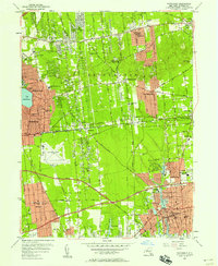
Editions of this 1956 Patchogue Map
2 editions found
Other maps of this area

1902 · Setauket
USGS Topo · 1:62,500

1902 · Fire Island
USGS Topo · 1:62,500

1903 · Fire Island
USGS Topo · 1:62,500

1904 · Setauket
USGS Topo · 1:62,500

1904 · Islip
USGS Topo · 1:125,000

1904 · Moriches
USGS Topo · 1:62,500

1919 · Setauket
USGS Topo · 1:62,500

1942 · Islip
USGS Topo · 1:125,000

1944 · Bay Shore East
USGS Topo · 1:24,000
1947 · St James
USGS Topo · 1:24,000