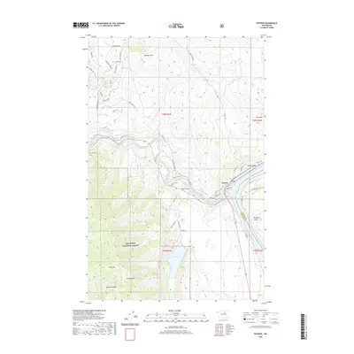
2020 Map of Pateros
USGS Topo · Published 2020About this map
Pateros sits at the strategic confluence where the Methow River meets the Columbia, represented here by the waters of Lake Pateros. This contemporary 2020 survey illustrates a landscape defined by sharp elevation shifts between the river valley and the surrounding peaks of the Okanogan National Forest. Notable terrain features include Buckhorn Mtn and Goat Mtn, which tower over deep incisions like Spray Canyon and Wadams Canyon. The settlement pattern follows the contours of the valley, with residential clusters at Alta Coulee and recreational infrastructure near Alta Lake. Local roads like Alamo Orchard Rd and Fish Hatchery Rd point to the area's ongoing agricultural and resource-management activities. The boundary between Douglas Co and Okanogan Co is clearly delineated along the river channel, marking a significant administrative divide in the heart of Washington's orchard country.
Find a feature on this map
52 named features on this map. Tap any name to fly to it.
Don’t see what you’re looking for? This feature index may not catch every label — zoom into the map to look around manually.
Map Details
Editions of this 2020 Pateros Map
This is the sole edition of this map. No revisions or reprints were ever made.
Other maps of this area

1899 · Methow
USGS Topo · 1:125,000

1901 · Chelan
USGS Topo · 1:125,000

1901 · Methow
USGS Topo · 1:125,000

1905 · Okanogan
USGS Topo · 1:125,000

1953 · Ritzville
USGS Topo · 1:250,000

1954 · Okanogan
USGS Topo · 1:250,000

1955 · Concrete
USGS Topo · 1:250,000

1957 · Brewster
USGS Topo · 1:62,500

1957 · Wenatchee
USGS Topo · 1:250,000

1958 · Concrete
USGS Topo · 1:250,000