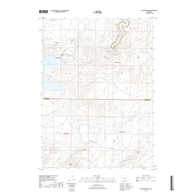
2017 Map of Pathfinder Dam
USGS Topo · Published 2017About this map
The Pathfinder Dam stands as a central monument of hydraulic engineering on the North Platte River, marking the point where river waters transition into the expansive Pathfinder Reservoir. This area straddles the high-altitude boundary of Natrona and Carbon counties, characterized by dramatic canyon systems and isolated mountain peaks. The rugged topography is defined by the steep-walled Fremont Canyon and the prominent heights of Pathfinder Mtn, while the Pedro Mountains rise to the southwest.
Find a feature on this map
28 named features on this map. Tap any name to fly to it.
Don’t see what you’re looking for? This feature index may not catch every label — zoom into the map to look around manually.
Map Details
Editions of this 2017 Pathfinder Dam Map
This is the sole edition of this map. No revisions or reprints were ever made.
Other maps of this area

1950 · Alcova
USGS Topo · 1:24,000

1951 · Benton Basin SW
USGS Topo · 1:24,000

1951 · Benton Basin
USGS Topo · 1:24,000

1951 · Pathfinder Reservoir NW
USGS Topo · 1:24,000

1951 · Bear Spring
USGS Topo · 1:24,000

1951 · Pathfinder Dam
USGS Topo · 1:24,000

1953 · Leo
USGS Topo · 1:24,000

1953 · Pathfinder Reservoir SW
USGS Topo · 1:24,000

1953 · Fourmile Ridge
USGS Topo · 1:24,000

1955 · Casper
USGS Topo · 1:250,000