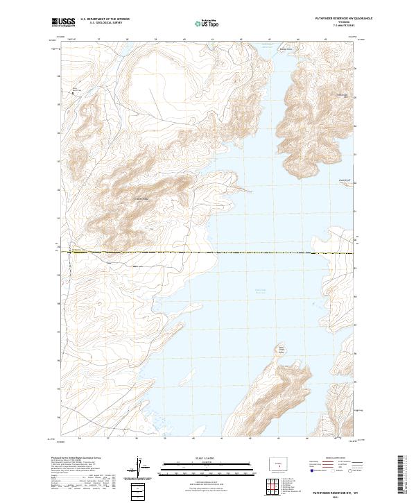
2021 Map of Pathfinder Reservoir NW
USGS Topo · Published 2021About this map
The Annis Ranch Cem sits on the high ground above Arkansas Cr, a quiet local landmark in this corner of the Wyoming high country. This landscape is defined by the expansive Pathfinder Reservoir, which fills the valley floor and creates a complex shoreline of rugged peninsulas such as Bishop Point and Sand Creek Point. The presence of the cemetery and the ranch name suggest the long history of livestock operations in these river valleys before and after the reservoir's creation.
Find a feature on this map
13 named features on this map. Tap any name to fly to it.
Don’t see what you’re looking for? This feature index may not catch every label — zoom into the map to look around manually.
Map Details
Editions of this 2021 Pathfinder Reservoir NW Map
This is the sole edition of this map. No revisions or reprints were ever made.
Other maps of this area

1951 · Benton Basin SW
USGS Topo · 1:24,000

1951 · Benton Basin
USGS Topo · 1:24,000

1951 · Pathfinder Reservoir NW
USGS Topo · 1:24,000

1951 · Pathfinder Dam
USGS Topo · 1:24,000

1951 · Fort Ridge
USGS Topo · 1:24,000

1953 · Leo
USGS Topo · 1:24,000

1953 · Pathfinder Reservoir SW
USGS Topo · 1:24,000

1953 · Buzzard Ranch
USGS Topo · 1:24,000

1955 · Casper
USGS Topo · 1:250,000

1958 · Casper
USGS Topo · 1:250,000