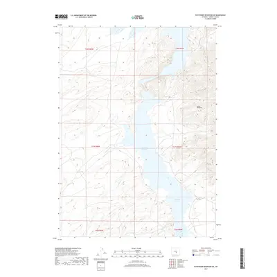
2017 Map of Pathfinder Reservoir SW
USGS Topo · Published 2017About this map
Pathfinder Reservoir dominates the central landscape of this Carbon County region, serving as the focal point for a network of seasonal and permanent watercourses. The reservoir's expansive reach is fed by several tributaries, including Sand Cr to the north and the convergent flows of Deweese Cr and Junk Cr from the west. To the east, the terrain rises sharply into the Pedro Mountains, creating a high-elevation backdrop that influences the local drainage patterns. The south-central portion of the map reveals a complex system of smaller creeks like Wood Cr and Sunday Morning Cr, while the eastern shoreline is marked by the distinctive Tye Draw. This survey illustrates the intricate relationship between the reservoir's shoreline and the surrounding arid high-country topography, documenting the essential water resources and landforms of this Wyoming interior.
Find a feature on this map
14 named features on this map. Tap any name to fly to it.
Don’t see what you’re looking for? This feature index may not catch every label — zoom into the map to look around manually.
Map Details
Editions of this 2017 Pathfinder Reservoir SW Map
This is the sole edition of this map. No revisions or reprints were ever made.
Other maps of this area

1951 · Pathfinder Reservoir NW
USGS Topo · 1:24,000

1951 · Pathfinder Dam
USGS Topo · 1:24,000

1951 · Fort Ridge
USGS Topo · 1:24,000

1953 · Leo
USGS Topo · 1:24,000

1953 · Bradley Peak
USGS Topo · 1:24,000

1953 · Seminoe Dam NE
USGS Topo · 1:24,000

1953 · Seminoe Dam
USGS Topo · 1:24,000

1953 · Pathfinder Reservoir SW
USGS Topo · 1:24,000

1953 · Buzzard Ranch
USGS Topo · 1:24,000

1955 · Casper
USGS Topo · 1:250,000