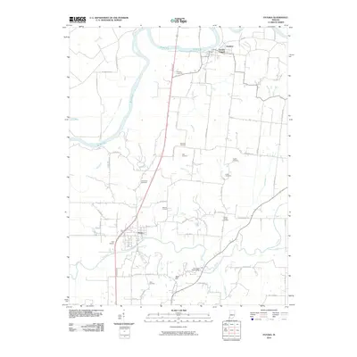
2010 Map of Patoka
USGS Topo · Published 2010About this map
The Patoka River and White River converge in this river-valley landscape at the dawn of the 2010s. The town of Patoka serves as a primary local hub, positioned near the Hull Airport and the elevated terrain of Bald Hill. This survey highlights the dense distribution of family-named burial sites across the Gibson County countryside, including Barnett Cemetery, Morrison Cemetery, and Humphrey Cemetery.
Find a feature on this map
66 named features on this map. Tap any name to fly to it.
Don’t see what you’re looking for? This feature index may not catch every label — zoom into the map to look around manually.
Map Details
Editions of this 2010 Patoka Map
This is the sole edition of this map. No revisions or reprints were ever made.
Other maps of this area

1901 · Princeton
USGS Topo · 1:62,500

1902 · Ditney
USGS Topo · 1:125,000

1903 · Petersburg
USGS Topo · 1:62,500

1903 · Princeton
USGS Topo · 1:62,500

1903 · Patoka
USGS Topo · 1:125,000

1915 · Vincennes
USGS Topo · 1:62,500

1944 · Iona
USGS Topo · 1:24,000

1944 · Vincennes
USGS Topo · 1:62,500

1956 · Vincennes
USGS Topo · 1:250,000

1957 · Vincennes
USGS Topo · 1:250,000