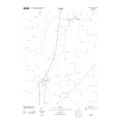
2013 Map of Patoka
USGS Topo · Published 2013About this map
Patoka and Hazleton anchor this river-dominated landscape at the northern edge of Gibson County. The meandering courses of the White River and the Patoka River define the local topography, creating a complex network of drainage features like Robb Cr, Hull Ditch, and Trippet Ditch. This geography historically dictated the placement of settlements and infrastructure, seen in the positioning of the Princeton Waterworks and the small airfield at Hull Airport.
Find a feature on this map
86 named features on this map. Tap any name to fly to it.
Don’t see what you’re looking for? This feature index may not catch every label — zoom into the map to look around manually.
Map Details
Editions of this 2013 Patoka Map
This is the sole edition of this map. No revisions or reprints were ever made.
Other maps of this area

1901 · Princeton
USGS Topo · 1:62,500

1902 · Ditney
USGS Topo · 1:125,000

1903 · Petersburg
USGS Topo · 1:62,500

1903 · Princeton
USGS Topo · 1:62,500

1903 · Patoka
USGS Topo · 1:125,000

1915 · Vincennes
USGS Topo · 1:62,500

1944 · Iona
USGS Topo · 1:24,000

1944 · Vincennes
USGS Topo · 1:62,500

1956 · Vincennes
USGS Topo · 1:250,000

1957 · Vincennes
USGS Topo · 1:250,000