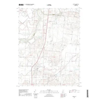
2019 Map of Patoka
USGS Topo · Published 2019About this map
Patoka and Hazleton anchor this section of Southwestern Indiana, where the White River and Patoka River meander through a landscape defined by complex drainage and agriculture. The convergence of these waterways, along with features like Thompson Ditch and Trippet Ditch, reflects a century-long effort to manage the fertile bottomlands of the Wabash Valley. For those tracing family histories in Gibson and Knox Counties, the map is a primary reference for locating rural burial grounds, including Barnett Cem, Morrison Cem, and Field Cem. Transport infrastructure is prominent, featuring the CSX railroad corridor and local aviation sites such as Hull Airport and Snider Field. The terrain rises at Bald Hill, providing a rare elevation point amidst the river plains and ditches like Houchins Ditch that crisscross the rural townships.
Find a feature on this map
108 named features on this map. Tap any name to fly to it.
Don’t see what you’re looking for? This feature index may not catch every label — zoom into the map to look around manually.
Map Details
Editions of this 2019 Patoka Map
This is the sole edition of this map. No revisions or reprints were ever made.
Other maps of this area

1901 · Princeton
USGS Topo · 1:62,500

1902 · Ditney
USGS Topo · 1:125,000

1903 · Petersburg
USGS Topo · 1:62,500

1903 · Princeton
USGS Topo · 1:62,500

1903 · Patoka
USGS Topo · 1:125,000

1915 · Vincennes
USGS Topo · 1:62,500

1944 · Iona
USGS Topo · 1:24,000

1944 · Vincennes
USGS Topo · 1:62,500

1956 · Vincennes
USGS Topo · 1:250,000

1957 · Vincennes
USGS Topo · 1:250,000