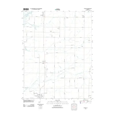
2012 Map of Patoka
USGS Topo · Published 2012About this map
Patoka and the surrounding Marion County countryside are defined by a network of rural roads and watercourses that feed into the Kaskaskia River system. The landscape is a corridor of small settlements including Vernon, Shobonier, and Augsburg, each connected by a grid that serves the region's agricultural and energy interests. A significant industrial footprint is visible at the Patoka Oil Field, while the local topography is punctuated by The Mound and the sprawling Illinois No Name Number 2040 Reservoir.
Find a feature on this map
91 named features on this map. Tap any name to fly to it.
Don’t see what you’re looking for? This feature index may not catch every label — zoom into the map to look around manually.
Map Details
Editions of this 2012 Patoka Map
This is the sole edition of this map. No revisions or reprints were ever made.
Other maps of this area

1914 · Centralia
USGS Topo · 1:62,500

1934 · Salem
USGS Topo · 1:62,500

1935 · Centralia
USGS Topo · 1:62,500

1938 · Salem
USGS Topo · 1:62,500

1945 · Kinmundy
USGS Topo · 1:62,500

1945 · Vandalia
USGS Topo · 1:62,500

1947 · Vandalia
USGS Topo · 1:62,500

1947 · Kinmundy
USGS Topo · 1:62,500

1958 · Belleville
USGS Topo · 1:250,000

1962 · Belleville
USGS Topo · 1:250,000