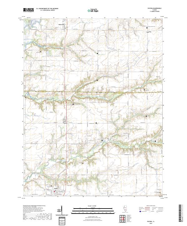
2024 Map of Patoka
USGS Topo · Published 2024About this map
The village of Patoka sits at the southern edge of this Illinois landscape, where the prairie meets the wooded drainages of the North Fork East Fork Kaskaskia River. The terrain is defined by the winding paths of Cassar Creek and Flat Creek, which create natural corridors through the agricultural grid. To the north, the small settlements of Shobonier and Augsburg anchor the rural landscape, with the latter serving as a focal point for the surrounding farmsteads near The Mound.
Find a feature on this map
62 named features on this map. Tap any name to fly to it.
Don’t see what you’re looking for? This feature index may not catch every label — zoom into the map to look around manually.
Map Details
Editions of this 2024 Patoka Map
This is the sole edition of this map. No revisions or reprints were ever made.
Other maps of this area

1914 · Centralia
USGS Topo · 1:62,500

1934 · Salem
USGS Topo · 1:62,500

1935 · Centralia
USGS Topo · 1:62,500

1938 · Salem
USGS Topo · 1:62,500

1945 · Kinmundy
USGS Topo · 1:62,500

1945 · Vandalia
USGS Topo · 1:62,500

1947 · Vandalia
USGS Topo · 1:62,500

1947 · Kinmundy
USGS Topo · 1:62,500

1958 · Belleville
USGS Topo · 1:250,000

1962 · Belleville
USGS Topo · 1:250,000