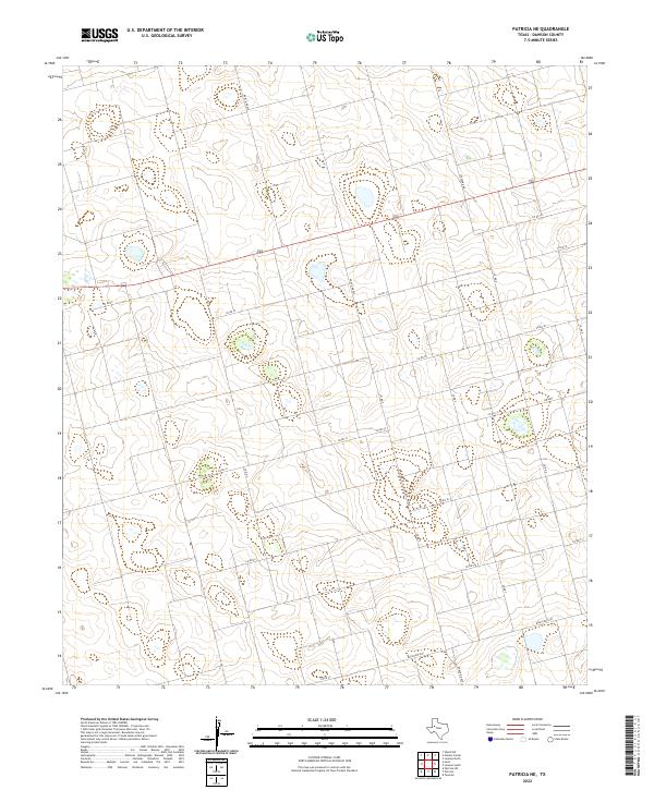
2022 Map of Patricia NE
USGS Topo · Published 2022About this map
The vast agricultural plains of Dawson County are defined by a meticulous grid of rural routes and farm-to-market roads in this 2022 survey. Ranch Rd 829 serves as the primary north-south artery, intersecting with Ranch Rd 2051 and several local connectors. The landscape is characterized by intermittent water features and depressions scattered across the high plains, illustrating the unique drainage patterns of the Llano Estacado. Transport and logistics in this region rely on the interconnected network of county roads, such as Co Rd 19 and Co Rd 20, which facilitate the movement of goods between remote farmsteads and regional hubs. The presence of Stafford Rd and Fm 2052 highlights the infrastructure developed to support the local ranching and cotton-growing economy.
Find a feature on this map
18 named features on this map. Tap any name to fly to it.
Don’t see what you’re looking for? This feature index may not catch every label — zoom into the map to look around manually.
Map Details
Editions of this 2022 Patricia NE Map
This is the sole edition of this map. No revisions or reprints were ever made.
Other maps of this area

1954 · Hobbs
USGS Topo · 1:250,000

1954 · Big Spring
USGS Topo · 1:250,000

1958 · Big Spring
USGS Topo · 1:250,000

1958 · Hobbs
USGS Topo · 1:250,000

1968 · Lamesa North
USGS Topo · 1:24,000

1969 · Welch SW
USGS Topo · 1:24,000

1969 · Punkin Center
USGS Topo · 1:24,000

1970 · Patricia SW
USGS Topo · 1:24,000

1970 · Patricia
USGS Topo · 1:24,000

1970 · Lamesa South
USGS Topo · 1:24,000