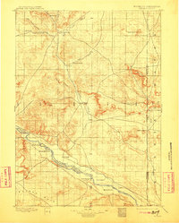
1896 Map of Patrick
USGS Topo · Published 1911About this map
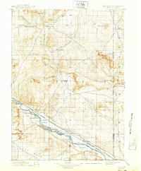
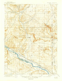
North Platte River waters define the southern corridor of this late 19th-century landscape, a region transitioning from open range to the early foundations of Torrington. The map illustrates a high density of named ranching outposts along the river and its tributaries, including Rock Ranch, Weber's Ranch, and Hauphoff's Ranch. These family-named landmarks suggest a period when individual livestock operations were the primary drivers of settlement before larger-scale irrigation and infrastructure arrived.
Find a feature on this map
32 named features on this map. Tap any name to fly to it.
Don’t see what you’re looking for? This feature index may not catch every label — zoom into the map to look around manually.
Map Details
Editions of this 1896 Patrick Map
7 editions found
Other maps of this area

1896 · Patrick
USGS Topo · 1:125,000

1896 · Hartville
USGS Topo · 1:125,000

1898 · Scotts Bluff
USGS Topo · 1:125,000

1899 · Goshen Hole
USGS Topo · 1:125,000

1899 · Whistle Creek
USGS Topo · 1:125,000

1901 · Hartville
USGS Topo · 1:125,000

1950 · Rockeagle
USGS Topo · 1:24,000

1950 · Casebier Hill
USGS Topo · 1:24,000

1950 · Fort Laramie
USGS Topo · 1:24,000

1951 · Moore Spring
USGS Topo · 1:24,000