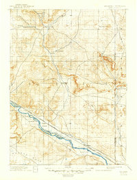
1896 Map of Patrick
USGS Topo · Published 1946About this map
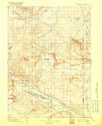
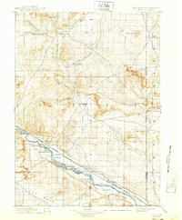
The North Platte River carves a diagonal path through this 1890s cattle-country landscape, serving as the primary corridor for both transportation and settlement. The arrival of the Chicago Burlington and Quincy railroad, specifically the Casper Branch, parallels the river and connects the emerging town of Torrington with outlying points like Vaughan. The map is characterized by a series of family-named ranching operations that define the early economy, including Nolan's Ranch, Coffee's Ranch, and Rock Ranch. North of the river, the terrain rises into the dissected breaks of Pine Ridge and prominent heights like Spoon Butte along the Nebraska border. The landscape transitions from the broad depression of Goshen Hole in the southwest to the higher, arid plains punctuated by landmarks such as Lone Sand Hill. This survey captures the region just as the transition from open-range ranching to more permanent rail-side settlements was taking hold.
Find a feature on this map
55 named features on this map. Tap any name to fly to it.
Don’t see what you’re looking for? This feature index may not catch every label — zoom into the map to look around manually.
Map Details
Editions of this 1896 Patrick Map
7 editions found
Other maps of this area

1896 · Patrick
USGS Topo · 1:125,000

1896 · Hartville
USGS Topo · 1:125,000

1898 · Scotts Bluff
USGS Topo · 1:125,000

1899 · Goshen Hole
USGS Topo · 1:125,000

1899 · Whistle Creek
USGS Topo · 1:125,000

1901 · Hartville
USGS Topo · 1:125,000

1950 · Rockeagle
USGS Topo · 1:24,000

1950 · Casebier Hill
USGS Topo · 1:24,000

1950 · Fort Laramie
USGS Topo · 1:24,000

1951 · Moore Spring
USGS Topo · 1:24,000