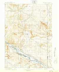
1896 Map of Patrick
USGS Topo · Published 1939About this map
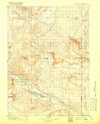
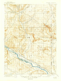
Torrington and the cattle ranches of the high plains define this late nineteenth-century survey of the Wyoming-Nebraska borderlands. The North Platte River serves as the primary lifeblood of the region, flanked by early infrastructure like the Chicago Burlington and Quincy (Casper Branch) railroad. The landscape is dotted with named homesteads and operations such as Rock Ranch, P. F. Ranch, and Sturdivants Ranch, reflecting the era of open-range cattle ranching and early settlement.
Find a feature on this map
39 named features on this map. Tap any name to fly to it.
Don’t see what you’re looking for? This feature index may not catch every label — zoom into the map to look around manually.
Map Details
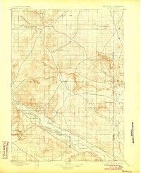
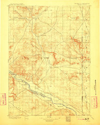
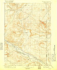
Editions of this 1896 Patrick Map
7 editions found
Other maps of this area

1896 · Patrick
USGS Topo · 1:125,000

1896 · Hartville
USGS Topo · 1:125,000

1898 · Scotts Bluff
USGS Topo · 1:125,000

1899 · Goshen Hole
USGS Topo · 1:125,000

1899 · Whistle Creek
USGS Topo · 1:125,000

1901 · Hartville
USGS Topo · 1:125,000

1950 · Rockeagle
USGS Topo · 1:24,000

1950 · Casebier Hill
USGS Topo · 1:24,000

1950 · Fort Laramie
USGS Topo · 1:24,000

1951 · Moore Spring
USGS Topo · 1:24,000