
1896 Map of Patrick
USGS Topo · Published 1896About this map
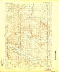
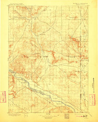
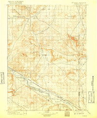
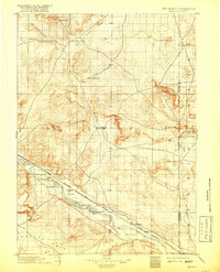
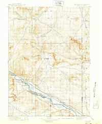
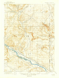
Rawhide Creek and the North Platte River converge in a landscape defined by 19th-century ranching and frontier post offices before the widespread development of modern irrigation systems. This 1895 survey reveals a sparse network of early homesteads and cattle operations, including Nolan's Ranch and Hauphoff's Ranch, scattered across the plains of what would become Goshen County. The presence of Rock Ranch and Spring Ranch along the river bottom indicates the importance of reliable water sources for early settlers in the Goshen Hole depression. Further north, the namesake settlement of Patrick sits at the junction of several drainage routes, while the Wyoming-Nebraska boundary line bisects the high ground near Spoon Butte. This record captures the transition from open range to the first structured townships like Torrington and Pratt.
Find a feature on this map
43 named features on this map. Tap any name to fly to it.
Don’t see what you’re looking for? This feature index may not catch every label — zoom into the map to look around manually.
Map Details
Editions of this 1896 Patrick Map
7 editions found
Other maps of this area

1896 · Hartville
USGS Topo · 1:125,000

1898 · Scotts Bluff
USGS Topo · 1:125,000

1899 · Goshen Hole
USGS Topo · 1:125,000

1899 · Whistle Creek
USGS Topo · 1:125,000

1901 · Hartville
USGS Topo · 1:125,000

1950 · Rockeagle
USGS Topo · 1:24,000

1950 · Casebier Hill
USGS Topo · 1:24,000

1950 · Fort Laramie
USGS Topo · 1:24,000

1951 · Moore Spring
USGS Topo · 1:24,000

1952 · Fort Laramie
USGS Topo · 1:24,000