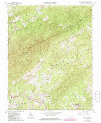
1967 Map of Patrick Springs
USGS Topo · Published 1986About this map
Patrick Springs serves as the focal point of this Piedmont landscape, situated just east of the Blue Ridge Parkway during the mid-to-late 1960s. The area is defined by sharp topographic transitions, where high points like Richwood Knob and No Business Mountain overlook a network of valley settlements and agricultural clearings. The map reveals a community centered on local institutions, including the Hardin Reynolds Memorial Sch and several country churches such as Liberty Ch and Fairystone Ch.
Find a feature on this map
33 named features on this map. Tap any name to fly to it.
Don’t see what you’re looking for? This feature index may not catch every label — zoom into the map to look around manually.
Map Details
Editions of this 1967 Patrick Springs Map
2 editions found
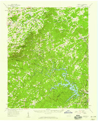
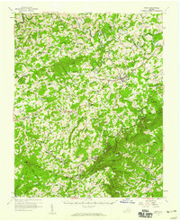
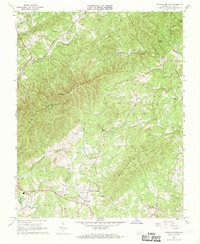
Other maps of this area

1926 · Critz
USGS Topo · 1:48,000

1928 · Stuart
USGS Topo · 1:48,000

1928 · Critz
USGS Topo · 1:62,500

1931 · Stuart
USGS Topo · 1:62,500

1953 · Winston-Salem
USGS Topo · 1:250,000

1955 · Winston-Salem
USGS Topo · 1:250,000
1957 · Endicott
USGS Topo · 1:62,500
1957 · Floyd
USGS Topo · 1:62,500

1962 · Winston-Salem
USGS Topo · 1:250,000
1967 · Patrick Springs
USGS Topo · 1:24,000