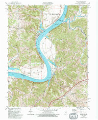
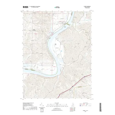
1961 Map of Patriot
USGS Topo · Published 1963About this map
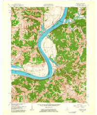
The Ohio River carves a dramatic oxbow through this borderland, where the Indiana-Kentucky state line follows the river's center. Fertile floodplains like Mexico Bottom, Steele Bottom, and Egypt Bottom define the interior bends, while the surrounding uplands of Posey are marked by a dense network of family cemeteries and rural crossroads. The town of Patriot sits at the river's edge, serving as a focal point for the surrounding agricultural community. Deeply incised creek valleys such as Goose Creek and Paint Lick drain the limestone topography, creating a landscape of ridges and hollows that historically isolated small settlements. This 1961 revision documents a transitional period for the river valley, showing established landmarks like Sugar Creek Ch and the 100F Cem alongside industrial features such as the Sand and Gravel Pit near the southern river bend.
Find a feature on this map
49 named features on this map. Tap any name to fly to it.
Don’t see what you’re looking for? This feature index may not catch every label — zoom into the map to look around manually.
Map Details
Editions of this 1961 Patriot Map
This is the sole edition of this map. No revisions or reprints were ever made.
Historical Maps of Patriot Through Time
10 maps found
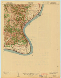
1943 Patriot
Switzerland County, IN
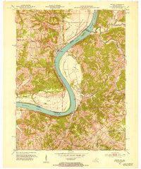
1951 Patriot
Switzerland County, IN
1961 Patriot
Switzerland County, IN
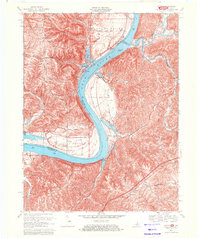
1969 Patriot
Switzerland County, IN
1981 Patriot
Switzerland County, IN
2010 Patriot
Switzerland County, IN
2013 Patriot
Switzerland County, IN
2016 Patriot
Switzerland County, IN
2019 Patriot
Switzerland County, IN
2022 Patriot
Switzerland County, IN