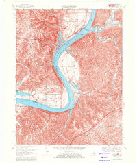
1969 Map of Patriot
USGS Topo · Published 1971About this map
The Ohio River carves a deep horseshoe bend through this borderland where Switzerland County, Indiana, meets Boone and Gallatin Counties in Kentucky. The settlement of Patriot sits at the river's edge, surrounded by fertile lowlands like Mexico Bottom, Steele Bottom, and Egypt Bottom. These flat expanses contrast sharply with the dissected uplands, where a network of family-named landmarks and rural institutions defines the social geography.
Find a feature on this map
43 named features on this map. Tap any name to fly to it.
Don’t see what you’re looking for? This feature index may not catch every label — zoom into the map to look around manually.
Map Details
Editions of this 1969 Patriot Map
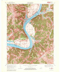
2 editions found
Other maps of this area

1943 · Florence
USGS Topo · 1:24,000

1943 · Aberdeen
USGS Topo · 1:24,000

1943 · Rising Sun
USGS Topo · 1:24,000

1943 · Patriot
USGS Topo · 1:24,000

1950 · Glencoe
USGS Topo · 1:24,000

1950 · Elliston
USGS Topo · 1:24,000

1950 · Union
USGS Topo · 1:24,000

1950 · Verona
USGS Topo · 1:24,000

1951 · Florence
USGS Topo · 1:24,000

1951 · Rising Sun
USGS Topo · 1:24,000