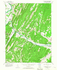
1949 Map of Patterson Creek
USGS Topo · Published 1968About this map
Patterson Creek and the winding North Branch Potomac River define this 1949 landscape along the Maryland and West Virginia border. The map documents a critical transportation corridor where the Baltimore and Ohio and Western Maryland railroads parallel the waterway, navigating the narrow passages between Collier Mountain and Warrior Mountain. Remnants of nineteenth-century infrastructure are visible in the Chesapeake and Ohio Canal (Abandoned), which traces the riverbank through Spring Gap and Wagoner.
Find a feature on this map
57 named features on this map. Tap any name to fly to it.
Don’t see what you’re looking for? This feature index may not catch every label — zoom into the map to look around manually.
Map Details
Editions of this 1949 Patterson Creek Map
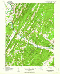
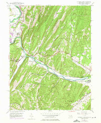
3 editions found
Other maps of this area

1891 · Romney
USGS Topo · 1:125,000

1898 · Frostburg
USGS Topo · 1:62,500

1899 · Flintstone
USGS Topo · 1:62,500

1900 · Flintstone
USGS Topo · 1:62,500

1901 · Frostburg
USGS Topo · 1:62,500

1908 · Frostburg
USGS Topo · 1:62,500

1920 · Keyser
USGS Topo · 1:62,500

1921 · Keyser
USGS Topo · 1:48,000

1921 · Hanging Rock
USGS Topo · 1:48,000

1922 · Keyser
USGS Topo · 1:62,500