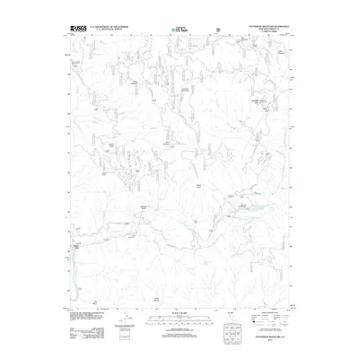
2012 Map of Patterson Mountain
USGS Topo · Published 2012About this map
Balch Camp stands at the confluence of several major canyons where the N Fork Kings River carves through the Sierra Nevada. This 2012 record highlights a landscape defined by significant hydroelectric infrastructure, including the Balch Powerhouse and Haas Powerhouse, which are linked by an extensive system of subterranean conduits such as the Balch Tunnel and Haas Tunnel. These engineering works utilize the steep drop of the river to generate power, with the Black Rock Reservoir serving as a key component of the water management network.
Find a feature on this map
42 named features on this map. Tap any name to fly to it.
Don’t see what you’re looking for? This feature index may not catch every label — zoom into the map to look around manually.
Map Details
Editions of this 2012 Patterson Mountain Map
This is the sole edition of this map. No revisions or reprints were ever made.
Other maps of this area

1903 · Tehipite
USGS Topo · 1:125,000

1904 · Kaiser
USGS Topo · 1:125,000

1905 · Tehipite
USGS Topo · 1:125,000

1912 · Mt. Goddard
USGS Topo · 1:125,000

1922 · Trimmer
USGS Topo · 1:96,000

1924 · Dinuba
USGS Topo · 1:125,000

1947 · Mariposa
USGS Topo · 1:250,000

1948 · Fresno
USGS Topo · 1:250,000

1948 · Mariposa
USGS Topo · 1:250,000

1952 · Tehipite Dome
USGS Topo · 1:62,500