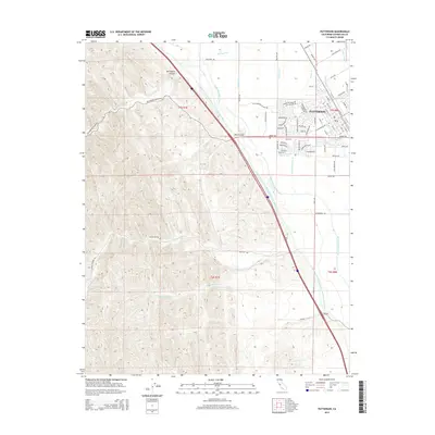
2015 Map of Patterson
USGS Topo · Published 2015About this map
Patterson sits at the nexus of California's industrial-scale water management and the eastern foothills of the Diablo Range. The landscape is defined by the massive parallel arteries of the Governor Edmund G Brown California Aqueduct and the Delta-Mendota Canal, which cut a diagonal path between the agricultural flats and the rising terrain. These engineered waterways contrast with the natural drainage patterns of Del Puerto Cr and Salado Cr, which emerge from the deep cuts of Del Puerto Canyon and Black Gulch. In the northeast, a dense grid of irrigation channels including Lateral Six S and Lateral M supports the local agriculture. The town's layout is notably distinct, featuring a radial street pattern centered near S 1st St and N 1st St, a design that radiates outward into the surrounding Stanislaus County farmland.
Find a feature on this map
77 named features on this map. Tap any name to fly to it.
Don’t see what you’re looking for? This feature index may not catch every label — zoom into the map to look around manually.
Map Details
Editions of this 2015 Patterson Map
This is the sole edition of this map. No revisions or reprints were ever made.
Other maps of this area

1913 · Romain
USGS Topo · 1:31,680

1915 · Westport
USGS Topo · 1:31,680

1915 · Westley
USGS Topo · 1:31,680

1916 · Crows Landing
USGS Topo · 1:31,680

1916 · Patterson
USGS Topo · 1:31,680

1916 · Romain
USGS Topo · 1:31,680

1917 · Newman
USGS Topo · 1:31,680

1919 · Orestimba
USGS Topo · 1:62,500

1919 · Orestimba Creek
USGS Topo · 1:31,680

1922 · Carbona
USGS Topo · 1:62,500