
1906 Map of Patuxent
USGS Topo · Published 1906About this map
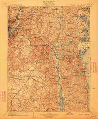
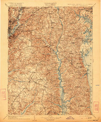
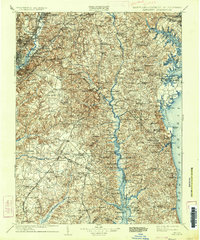
Annapolis and the surrounding Chesapeake tidewater regions are captured here in high detail just after the turn of the century. The map illustrates a landscape shaped by both ancient waterways and the expanding rail networks of the early 1900s, featuring the Baltimore and Potomac R.R. and the Chesapeake Beach R.R. branching through the countryside. Near the District of Columbia border, the Maryland Agril. College and Riggs Mills appear alongside established communities like Hyattsville and Bladensburg.
Find a feature on this map
213 named features on this map. Tap any name to fly to it.
Don’t see what you’re looking for? This feature index may not catch every label — zoom into the map to look around manually.
Map Details
Editions of this 1906 Patuxent Map
4 editions found
Other maps of this area

1889 · Fredericksburg
USGS Topo · 1:125,000

1890 · Mt. Vernon
USGS Topo · 1:125,000

1891 · Mt. Vernon
USGS Topo · 1:125,000

1892 · Leonardtown
USGS Topo · 1:62,500

1892 · Laurel
USGS Topo · 1:62,500

1892 · Fredericksburg
USGS Topo · 1:125,000

1892 · Drum Point
USGS Topo · 1:62,500

1892 · Prince Frederick
USGS Topo · 1:62,500

1892 · Brandywine
USGS Topo · 1:62,500

1892 · Owensville
USGS Topo · 1:62,500