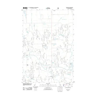
2011 Map of Paulding
USGS Topo · Published 2011About this map
The Middle Branch Ontonagon River and its various tributaries define the landscape of this southern Ontonagon County region during the early 21st century. The small settlements of Paulding and Robbins serve as local anchors, while the Bruce Crossing Post Office marks the northern edge of the survey. Significant hydrographic features, including the Bond Falls Flowage and the notable Bond Falls, indicate a landscape managed for both utility and recreation. Local history is preserved at the Barclay Cemetery near Barclay Pond. A network of Forest Service roads, such as Forest Rd 5320, provides access to numerous lakes like Tanlund Lake and Behlow Lake, alongside designated recreation sites like the Paulding Pond Campground and Picnic Area and Robbins Pond Campground.
Find a feature on this map
41 named features on this map. Tap any name to fly to it.
Don’t see what you’re looking for? This feature index may not catch every label — zoom into the map to look around manually.
Map Details
Editions of this 2011 Paulding Map
This is the sole edition of this map. No revisions or reprints were ever made.
Other maps of this area

1949 · Rockland
USGS Topo · 1:62,500

1951 · Rockland
USGS Topo · 1:62,500

1952 · Watersmeet
USGS Topo · 1:62,500

1952 · Thayer
USGS Topo · 1:62,500

1956 · Matchwood
USGS Topo · 1:62,500

1958 · Iron River
USGS Topo · 1:250,000

1960 · Iron River
USGS Topo · 1:250,000

1961 · Iron River
USGS Topo · 1:250,000

1967 · Iron River
USGS Topo · 1:250,000

1979 · Ontonagon
USGS Topo · 1:100,000