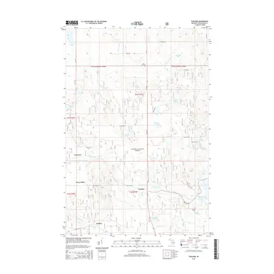
2014 Map of Paulding
USGS Topo · Published 2014About this map
The Ottawa National Forest blankets much of this Ontonagon County landscape, which is defined by a complex network of glacial lakes and river systems. The settlement of Paulding sits at the junction of US Hwy 45 and Bond Falls Rd, serving as a central point for the surrounding camps and small communities. To the southwest, Robbins is situated near Robbins Pond and Tucker Creek, reflecting the area's historical reliance on local waterways.
Find a feature on this map
45 named features on this map. Tap any name to fly to it.
Don’t see what you’re looking for? This feature index may not catch every label — zoom into the map to look around manually.
Map Details
Editions of this 2014 Paulding Map
This is the sole edition of this map. No revisions or reprints were ever made.
Other maps of this area

1949 · Rockland
USGS Topo · 1:62,500

1951 · Rockland
USGS Topo · 1:62,500

1952 · Watersmeet
USGS Topo · 1:62,500

1952 · Thayer
USGS Topo · 1:62,500

1956 · Matchwood
USGS Topo · 1:62,500

1958 · Iron River
USGS Topo · 1:250,000

1960 · Iron River
USGS Topo · 1:250,000

1961 · Iron River
USGS Topo · 1:250,000

1967 · Iron River
USGS Topo · 1:250,000

1979 · Ontonagon
USGS Topo · 1:100,000