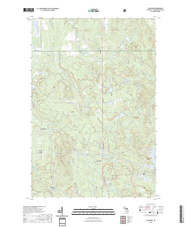
2023 Map of Paulding
USGS Topo · Published 2023About this map
Paulding and surrounding small settlements like Robbins and Craigsmere sit within the heavily forested landscape of the Ottawa National Forest in Ontonagon County. The map details a complex hydrographic network defined by the Ontonagon Wild and Scenic River and its various tributaries, including Baltimore River and Roselawn Creek. Small local landmarks provide genealogical value, such as Maple Grove Cem and Barclay Cem, located near the southeastern corner of the map. The distribution of small lakes like Kennedy Lake, Erickson Lake, and Johnson Lake illustrates a typical glacial landscape, where development is largely restricted to thin corridors along roads like Choate Rd and Bond Falls Rd. Numerous forest service trails, such as Nfst-5444 Trl, penetrate the interior, reflecting the area's modern use for timber management and outdoor recreation.
Find a feature on this map
74 named features on this map. Tap any name to fly to it.
Don’t see what you’re looking for? This feature index may not catch every label — zoom into the map to look around manually.
Map Details
Editions of this 2023 Paulding Map
This is the sole edition of this map. No revisions or reprints were ever made.
Other maps of this area

1949 · Rockland
USGS Topo · 1:62,500

1951 · Rockland
USGS Topo · 1:62,500

1952 · Watersmeet
USGS Topo · 1:62,500

1952 · Thayer
USGS Topo · 1:62,500

1956 · Matchwood
USGS Topo · 1:62,500

1958 · Iron River
USGS Topo · 1:250,000

1960 · Iron River
USGS Topo · 1:250,000

1961 · Iron River
USGS Topo · 1:250,000

1967 · Iron River
USGS Topo · 1:250,000

1979 · Ontonagon
USGS Topo · 1:100,000