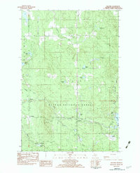
1982 Map of Paulding
USGS Topo · Published 1983About this map
Paulding serves as the primary settlement on this 1980s-era topographic survey of Ontonagon County, where the thick woods of the Ottawa National Forest meet a complex network of waterways. The landscape is defined by the Baltimore River and the Middle Branch Ontonagon River, which feeds into the Bond Falls Flowage in the southeastern corner. Small pockets of human activity are scattered throughout the timberland, including the Maple Grove Cem and small settlements like Craigsmere and Sleepy Hollow.
Find a feature on this map
30 named features on this map. Tap any name to fly to it.
Don’t see what you’re looking for? This feature index may not catch every label — zoom into the map to look around manually.
Map Details
Editions of this 1982 Paulding Map
This is the sole edition of this map. No revisions or reprints were ever made.
Other maps of this area
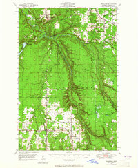
1949 · Rockland
USGS Topo · 1:62,500
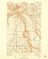
1951 · Rockland
USGS Topo · 1:62,500
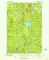
1952 · Watersmeet
USGS Topo · 1:62,500
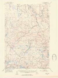
1952 · Thayer
USGS Topo · 1:62,500
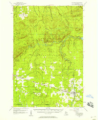
1956 · Matchwood
USGS Topo · 1:62,500

1958 · Iron River
USGS Topo · 1:250,000
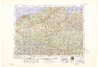
1960 · Iron River
USGS Topo · 1:250,000
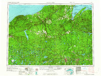
1961 · Iron River
USGS Topo · 1:250,000
1967 · Iron River
USGS Topo · 1:250,000
1979 · Ontonagon
USGS Topo · 1:100,000