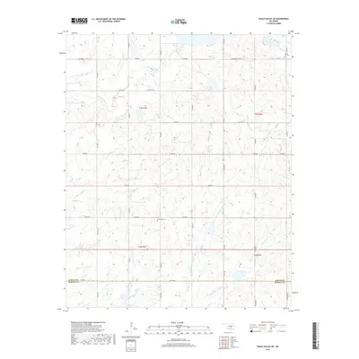
2018 Map of Pauls Valley NE
USGS Topo · Published 2018About this map
Cherokee Sandy Creek and its many named tributaries define the drainage patterns of this rural landscape north of the Garvin and Murray County line. The terrain is marked by a network of sectional roads such as E1570 Road and N3330 Road, which connect several family and community landmarks. Genealogists will find three distinct burial sites across the township, including Sandy Hill Cemetery in the northeast corner and Lewis Cemetery situated near the headwaters of the creeks. Further south, Oak Grove Cemetery sits near E1620 Road, highlighting the long-standing settlement clusters in this part of Oklahoma. The branching waters of W Branch Chigley Sandy Creek and Kickapoo Sandy Creek illustrate the dissected topography that has influenced agricultural land use and road placement for generations.
Find a feature on this map
36 named features on this map. Tap any name to fly to it.
Don’t see what you’re looking for? This feature index may not catch every label — zoom into the map to look around manually.
Map Details
Editions of this 2018 Pauls Valley NE Map
This is the sole edition of this map. No revisions or reprints were ever made.
Other maps of this area

1898 · Pauls Valley
USGS Topo · 1:125,000

1901 · Stonewall
USGS Topo · 1:125,000

1902 · Pauls Valley
USGS Topo · 1:125,000

1957 · Ardmore
USGS Topo · 1:250,000

1963 · Ardmore
USGS Topo · 1:250,000

1964 · Byars
USGS Topo · 1:24,000

1965 · Pauls Valley NE
USGS Topo · 1:24,000

1965 · Byars SW
USGS Topo · 1:24,000

1965 · Pauls Valley
USGS Topo · 1:24,000

1965 · Davis
USGS Topo · 1:24,000