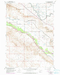
1959 Map of Pavillion SE
USGS Topo · Published 1979About this map
The Wind River carves a fertile path through this portion of Fremont County, supporting an extensive network of irrigation infrastructure critical to the high desert landscape. The presence of the Riverton Reclamation Withdrawal Area indicates the federal government's massive mid-century effort to transform this arid region into productive farmland. Water management is the dominant theme of the geography, with major arteries like the Le Clair Canal, Pilot Canal, and Wyo Central Canal distributing resources across the Riverview Valley.
Find a feature on this map
26 named features on this map. Tap any name to fly to it.
Don’t see what you’re looking for? This feature index may not catch every label — zoom into the map to look around manually.
Map Details
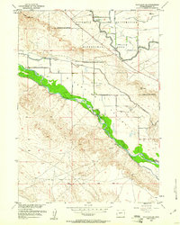
Editions of this 1959 Pavillion SE Map
2 editions found
Other maps of this area

1950 · Pavillion
USGS Topo · 1:24,000

1950 · Ocean Lake
USGS Topo · 1:24,000

1951 · Mule Butte
USGS Topo · 1:24,000

1951 · Pavillion SE
USGS Topo · 1:24,000

1951 · Riverton West
USGS Topo · 1:24,000

1952 · Lost Wells Butte
USGS Topo · 1:24,000

1952 · Hudson
USGS Topo · 1:24,000

1952 · Lander NW
USGS Topo · 1:24,000

1953 · Arapahoe
USGS Topo · 1:24,000

1955 · Thermopolis
USGS Topo · 1:250,000