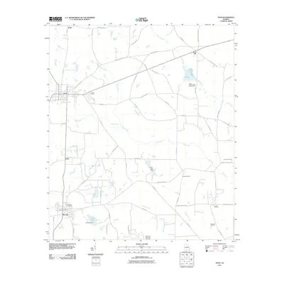
2011 Map of Pavo
USGS Topo · Published 2011About this map
Pavo and Barwick anchor the landscape of this South Georgia survey, revealing a rural network of farm-to-market roads and water management systems. The terrain is defined by the winding course of Mule Creek and Little Creek, punctuated by significant irrigation and water control structures like the Lake Nichols Dam Number One, Lake Pope Dam, and Bryan Lake Dam. This 2011 documentation provides a detailed look at the local infrastructure including the Barwick Post Office and numerous family and community burial grounds.
Find a feature on this map
57 named features on this map. Tap any name to fly to it.
Don’t see what you’re looking for? This feature index may not catch every label — zoom into the map to look around manually.
Map Details
Editions of this 2011 Pavo Map
This is the sole edition of this map. No revisions or reprints were ever made.
Other maps of this area

1953 · Waycross
USGS Topo · 1:250,000

1954 · Valdosta
USGS Topo · 1:250,000

1957 · Thomasville
USGS Topo · 1:62,500

1958 · Valdosta
USGS Topo · 1:250,000

1958 · Waycross
USGS Topo · 1:250,000

1959 · Valdosta
USGS Topo · 1:250,000

1961 · Quitman
USGS Topo · 1:62,500

1974 · Berlin East
USGS Topo · 1:24,000
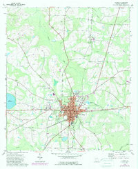
1974 · Quitman
USGS Topo · 1:24,000
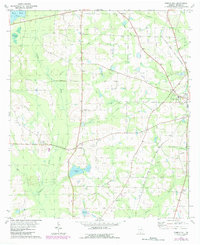
1975 · Pebble Hill
USGS Topo · 1:24,000