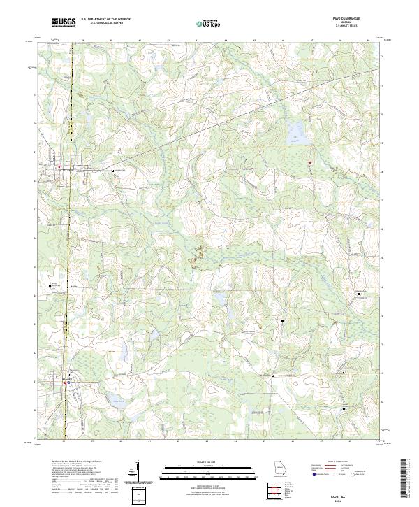
2024 Map of Pavo
USGS Topo · Published 2024About this map
Pavo and Barwick straddle the county line between Thomas and Brooks counties in this Southern Georgia landscape. The map reveals a rural economy structured by long-established road networks like Old Pavo Rd and Barwick Rd, connecting small settlements and family holdings. Genealogists will find a high density of burial sites throughout the quadrangle, including Lebanon Cem near the northern border and the Barwick City Cem further south. The hydrology is dominated by the winding paths of Mule Creek and Reedy Creek, which feed into local basins such as Lake Nichols. This detailed survey highlights the agricultural character of the region, where numerous named roads such as Okapilco Church Rd and Bethel Church Rd lead to local centers of community life.
Find a feature on this map
89 named features on this map. Tap any name to fly to it.
Don’t see what you’re looking for? This feature index may not catch every label — zoom into the map to look around manually.
Map Details
Editions of this 2024 Pavo Map
This is the sole edition of this map. No revisions or reprints were ever made.
Other maps of this area

1953 · Waycross
USGS Topo · 1:250,000

1954 · Valdosta
USGS Topo · 1:250,000

1957 · Thomasville
USGS Topo · 1:62,500

1958 · Valdosta
USGS Topo · 1:250,000

1958 · Waycross
USGS Topo · 1:250,000

1959 · Valdosta
USGS Topo · 1:250,000

1961 · Quitman
USGS Topo · 1:62,500

1974 · Berlin East
USGS Topo · 1:24,000
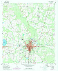
1974 · Quitman
USGS Topo · 1:24,000
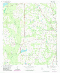
1975 · Pebble Hill
USGS Topo · 1:24,000