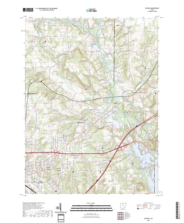
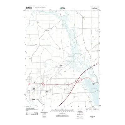
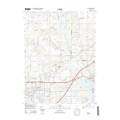
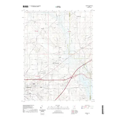
2023 Map of Pavonia
USGS Topo · Published 2023About this map
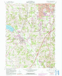
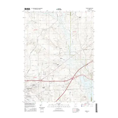
Black Fork Mohican River and its various tributaries, such as Brubaker Creek and Whetstone Creek, define the landscape of this region along the Richland Co and Ashland Co border. The map documents the eastern outskirts of Mansfield as the city transitions into the rural communities of Pavonia, Epworth, and Windsor. This area is characterized by a high density of family and community burial grounds, including Charles Cem, Imhoff Cem, and Chestnut Grove Cem, which provide significant data points for genealogical research in this part of Ohio.
Find a feature on this map
180 named features on this map. Tap any name to fly to it.
Don’t see what you’re looking for? This feature index may not catch every label — zoom into the map to look around manually.
Map Details
Editions of this 2023 Pavonia Map
This is the sole edition of this map. No revisions or reprints were ever made.
Historical Maps of Mansfield Through Time
26 maps found

1915 Shauck
Richland County, OH

1943 Shauck
Richland County, OH
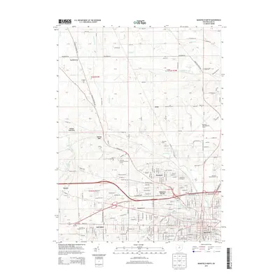
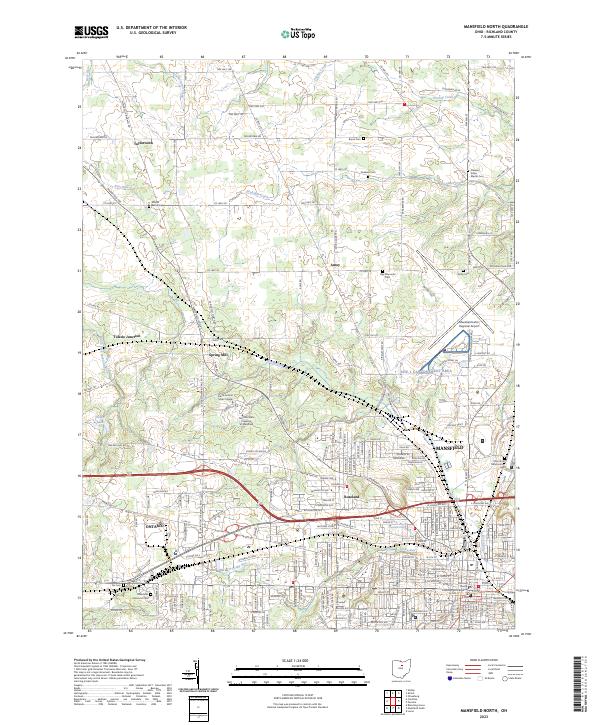
1960 Mansfield North
Richland County, OH
1960 Olivesburg
Richland County, OH
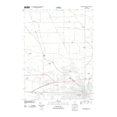
1960 Pavonia
Richland County, OH
1961 Mansfield South
Richland County, OH
2010 Mansfield North
Richland County, OH
2010 Mansfield South
Richland County, OH
2010 Olivesburg
Richland County, OH
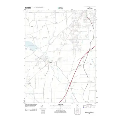
2010 Pavonia
Richland County, OH
2013 Mansfield North
Richland County, OH
2013 Mansfield South
Richland County, OH
2013 Olivesburg
Richland County, OH
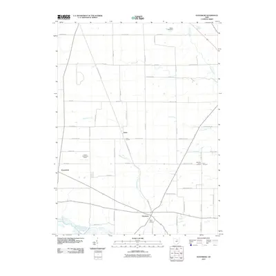
2013 Pavonia
Richland County, OH
2016 Mansfield North
Richland County, OH
2016 Mansfield South
Richland County, OH
2016 Olivesburg
Richland County, OH
2016 Pavonia
Richland County, OH
2019 Mansfield North
Richland County, OH
2019 Mansfield South
Richland County, OH
2019 Olivesburg
Richland County, OH
2019 Pavonia
Richland County, OH
2023 Mansfield North
Richland County, OH

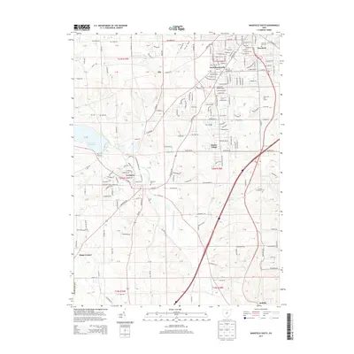
2023 Mansfield South
Richland County, OH
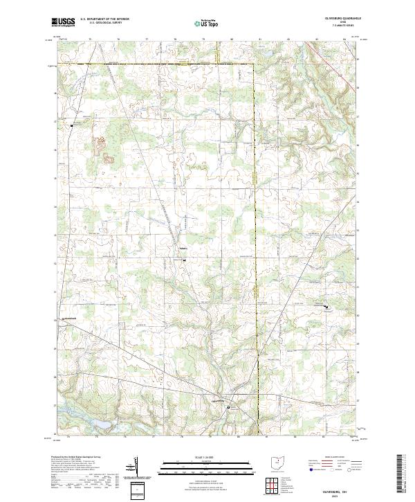
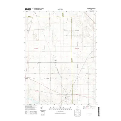
2023 Olivesburg
Richland County, OH
2023 Pavonia
Richland County, OH