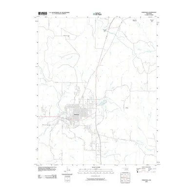
2009 Map of Pawhuska
USGS Topo · Published 2009About this map
The Osage County seat of Pawhuska serves as the focal point of this 2009 survey, appearing at a time when the community's traditional layout met modern infrastructure. The landscape is defined by an intricate network of waterways, including the winding course of Bird Creek and its many tributaries such as Soldier Creek, Rush Creek, and Mud Creek. These streams are punctuated by several numbered water control structures, including Oknoname 113111 Dam and Oknoname 113029 Dam, which manage the region's drainage.
Find a feature on this map
41 named features on this map. Tap any name to fly to it.
Don’t see what you’re looking for? This feature index may not catch every label — zoom into the map to look around manually.
Map Details
Editions of this 2009 Pawhuska Map
This is the sole edition of this map. No revisions or reprints were ever made.
Other maps of this area

1906 · Nelagoney
USGS Topo · 1:24,000

1909 · Pawhuska
USGS Topo · 1:125,000

1910 · Pawhuska
USGS Topo · 1:125,000

1955 · Enid
USGS Topo · 1:250,000

1958 · Enid
USGS Topo · 1:250,000

1960 · Nanos
USGS Topo · 1:24,000

1960 · Nelagoney
USGS Topo · 1:24,000

1960 · Herd
USGS Topo · 1:24,000

1960 · Pawhuska
USGS Topo · 1:24,000

1964 · Barnsdall
USGS Topo · 1:24,000