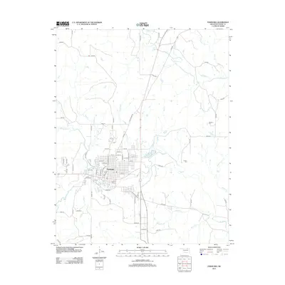
2012 Map of Pawhuska
USGS Topo · Published 2012About this map
Pawhuska serves as the central hub of this northern Oklahoma landscape, where the street grid is framed by the winding course of Bird Cr. The town's layout is well-defined, showing residential and commercial blocks reaching toward E 8th St and Boundary Ave. Beyond the immediate settlement, the terrain is defined by a dense network of drainage systems, including Quapaw Cr to the south and Rush Cr to the north. These waterways cut through the prairie, shaping the local road network that connects outlying areas via routes like Co Rd 4220. For those researching local heritage, the map identifies significant landmarks including Lookout Cem east of town and Strikeaxe Cem further northeast, providing essential points for genealogical study. The concentration of creeks such as Soldier Cr and Mud Cr suggests a landscape deeply influenced by its natural hydrology even as modern infrastructure expands.
Find a feature on this map
84 named features on this map. Tap any name to fly to it.
Don’t see what you’re looking for? This feature index may not catch every label — zoom into the map to look around manually.
Map Details
Editions of this 2012 Pawhuska Map
This is the sole edition of this map. No revisions or reprints were ever made.
Other maps of this area

1906 · Nelagoney
USGS Topo · 1:24,000

1909 · Pawhuska
USGS Topo · 1:125,000

1910 · Pawhuska
USGS Topo · 1:125,000

1955 · Enid
USGS Topo · 1:250,000

1958 · Enid
USGS Topo · 1:250,000

1960 · Nanos
USGS Topo · 1:24,000

1960 · Nelagoney
USGS Topo · 1:24,000

1960 · Herd
USGS Topo · 1:24,000

1960 · Pawhuska
USGS Topo · 1:24,000

1964 · Barnsdall
USGS Topo · 1:24,000