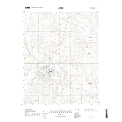
2018 Map of Pawhuska
USGS Topo · Published 2018About this map
Pawhuska serves as the focal point of this 2018 survey, centered at the confluence where Bird Creek meets tributaries like Mud Cr and Clear Creek. The town's grid is well-defined, stretching toward Wakon Iron Blvd and Bartlesville Rd, reflecting its status as a regional hub. Local history is anchored by the Pawhuska City Cem and the smaller Strikeaxe Cem and Lookout Cem located in the surrounding hills, which offer valuable points for genealogical research.
Find a feature on this map
82 named features on this map. Tap any name to fly to it.
Don’t see what you’re looking for? This feature index may not catch every label — zoom into the map to look around manually.
Map Details
Editions of this 2018 Pawhuska Map
This is the sole edition of this map. No revisions or reprints were ever made.
Other maps of this area

1906 · Nelagoney
USGS Topo · 1:24,000

1909 · Pawhuska
USGS Topo · 1:125,000

1910 · Pawhuska
USGS Topo · 1:125,000

1955 · Enid
USGS Topo · 1:250,000

1958 · Enid
USGS Topo · 1:250,000

1960 · Nanos
USGS Topo · 1:24,000

1960 · Nelagoney
USGS Topo · 1:24,000

1960 · Herd
USGS Topo · 1:24,000

1960 · Pawhuska
USGS Topo · 1:24,000

1964 · Barnsdall
USGS Topo · 1:24,000