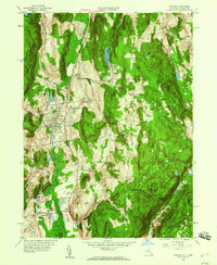
1958 Map of Pawling
USGS Topo · Published 1960About this map
Pawling and Patterson anchor this mid-century survey of the Harlem Valley, where the New York Central railroad runs parallel to the distinctive wetlands of the Great Swamp. The landscape is defined by its prominent ridges, such as Hammersly Ridge and Quaker Hill, which overlook a network of small upland lakes and brooks. Cultural landmarks like the Trinity-Pawling Sch and the Meeting House reflect the established social fabric of eastern Dutchess County.
Find a feature on this map
64 named features on this map. Tap any name to fly to it.
Don’t see what you’re looking for? This feature index may not catch every label — zoom into the map to look around manually.
Map Details
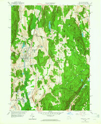
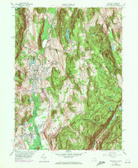
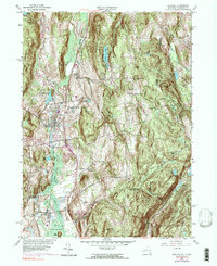
Editions of this 1958 Pawling Map
4 editions found
Other maps of this area

1892 · Danbury
USGS Topo · 1:62,500

1892 · New Milford
USGS Topo · 1:62,500

1892 · Carmel
USGS Topo · 1:62,500

1893 · Carmel
USGS Topo · 1:62,500

1893 · New Milford
USGS Topo · 1:62,500

1893 · Clove
USGS Topo · 1:62,500

1894 · Clove
USGS Topo · 1:62,500

1894 · Carmel
USGS Topo · 1:62,500

1898 · Clove
USGS Topo · 1:62,500

1901 · Clove
USGS Topo · 1:62,500